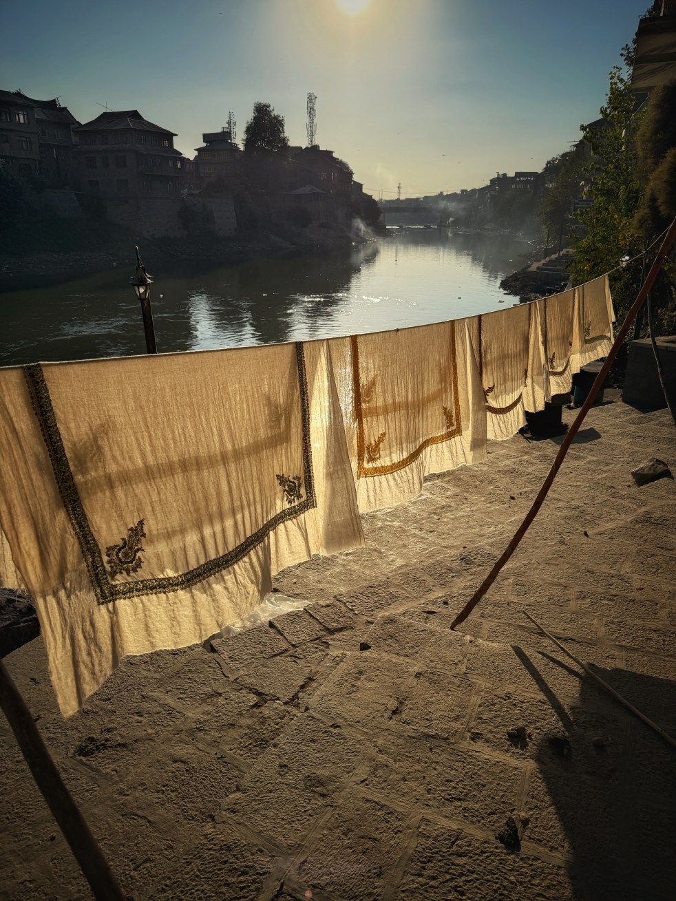
“Quae loca fabulosus lambit Hydaspes“
What places the magnificent Jhelum washes!
Ode 1.22, Horace, Circa 3rd BC[i]
With these lines begins M. Aurel Stein’s authoritative Ancient Geography of Kashmir, written in 1899.[ii] Stein was deeply smitten by Kashmir and its rivers and was the first to translate Kalhana’s epic Rajatarangini—literally River of the Kings—into English[iii].
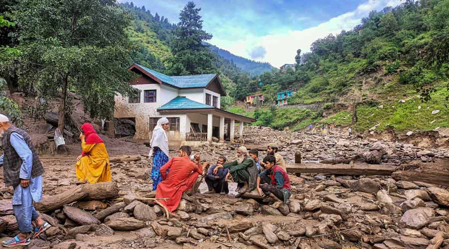
Jhelum—or Behat, Vyeth, Vitasta, Hydaspes—has indeed washed some legendary places like Srinagar, Baramulla, Anantnag and Sopore. But it has also “washed” something very particular, something that is as much the fruit of the Jhelum as it is of Kashmir itself: the feather-light Pashmina shawl.
Continue reading “Jhelum and Pashmina: A River Woven into a Shawl”