(Feature Image: NDRF personnel conduct a rescue operation at a flood-affected area in Bihar’s Supaul district. Image Credit: PTI/Source Live Mint, Sept. 30)
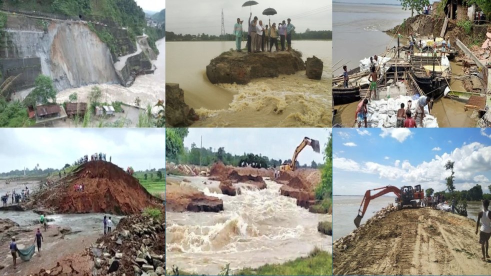
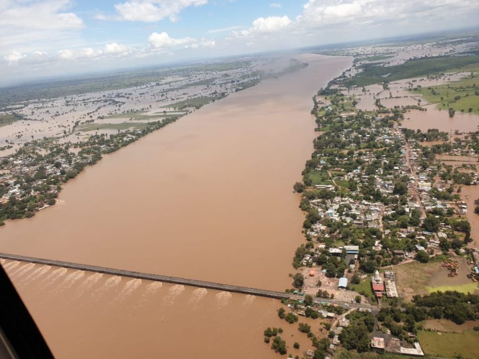
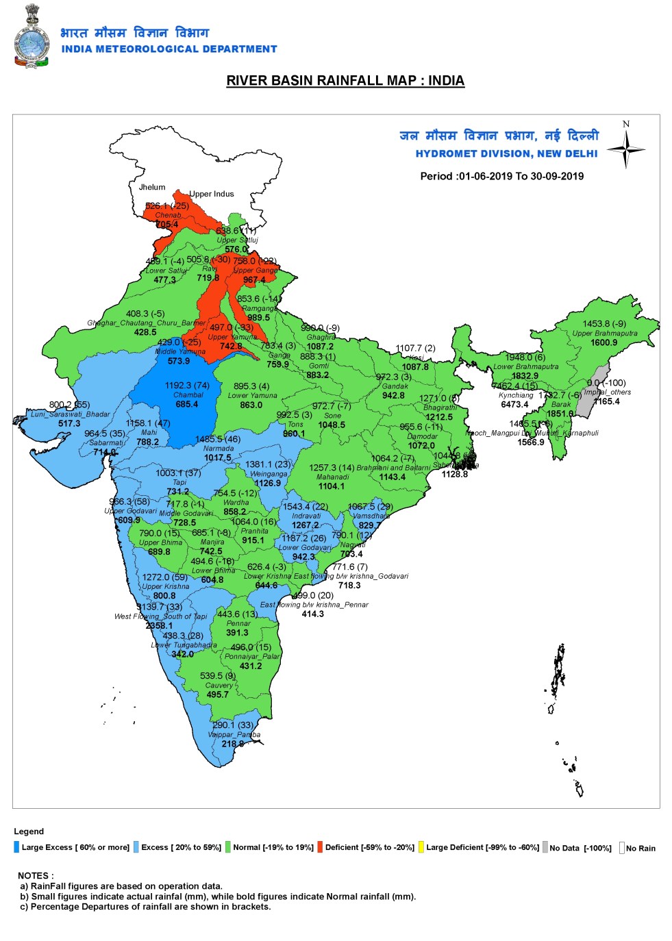
India has seen several floods brought by breach of embankments during the 2024 monsoon. In Bihar, though the state has received deficit rainfalls, the overspilling of barrages and breaching of several embankments created widescale flood damages. Number of reports have again highlighted the ineffective and adverse role being played by flood protection structures in worsening the deluge impacts. The first part of the overview has covered dam induced flood incidents in the country during 2024 and third part has highlighted incidents of dam induced urban floods.
Continue reading “2024: Do Embankments save from floods or worsen the disasters?”