Jammu and Kashmir

Phutkal landslide dam bursts in Zanskar valley, flood creates extensive damage in 2015

NRSC image of blockade 240315

Marking a significant failure of India’s Disaster Management apparatus, the massive dam created by landslide on the Phutkal River in Zanskar Valley[1] in Kargil district in Jammu and Kashmir burst on May 7, 2015, leading to extensive damage to the bridges, culverts, some buildings and land along the river. Continue reading “Phutkal landslide dam bursts in Zanskar valley, flood creates extensive damage in 2015”

Groundwater · Maharashtra

Maharashtra Groundwater Authority: Can it save the state from deep trouble?

(Photo from Outlook)

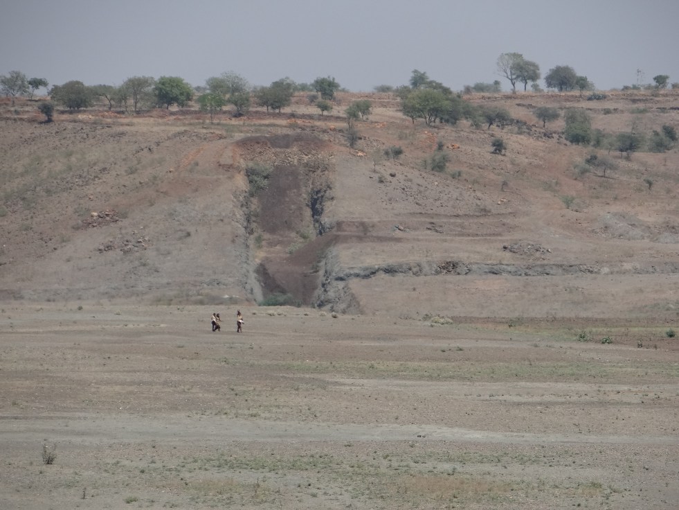
Harischandra Yerme from Latur (Maharashtra) sunk not one or two but 60 borewells in his field in Marathwada in the hope of finding water for his orchard. None of these 60 borewells yield water today. Mr. Yerme has taken on himself the task of educating farmers in his region that there is no sense in growing an orchard on bore wells: the supply may dry up at any moment, resulting in huge losses. He told me, “We don’t even consider 250 feet borewells now, all bores are at least 700-800 feet deep and even then they don’t work.” Marathwada is reportedly drilling as many as 10,000 borewells[1] per month in this drought: a boom that is sustained by the “boring mafia” from Andhra Pradesh and Tamilnadu using travelling rigs… In as many as 247 villages of Marathwada, the draft has exceeded recharge to such an extent that the aquifer has literally gone dry.. Water in villages is plummeting even by 7 meters of the 5 years average.[2] The density of borewells is so high that is villages near Tasagaon, a 40-50 square kilometer area has more than 210 deep bore wells. Officials from GSDA tell SANDRP of multiple instances where farmers only lose money in the hope of going deeper for groundwater, deeper than 800-900 feet. The landscape is likened to a “Chaalan”: a sieve in Marathi, but also several gunshot wounds.. Continue reading “Maharashtra Groundwater Authority: Can it save the state from deep trouble?”

Nepal

Nepal’s Everest sinking 7.9 Earthquake of April 25-2015: Himalayan warning

The massive Nepal earthquake of 7.9 intensity (Richter scale) on April 25, 2015 with epicenter 77 km north-west of Kathmandu in Nepal is a major noteworthy event in the Himalayas which also has warnings for what is in store for future. The earthquake left a major trail of destruction affecting over 20 districts of Nepal, of which 8 million live in 11 severely affected districts. Besides, it affected areas of India (Bihar, UP, W Bengal, Sikkim, Assam), Bangladesh, Tibet. The earthquake has now been given the official name of Gorkha Earthquake.

Continue reading “Nepal’s Everest sinking 7.9 Earthquake of April 25-2015: Himalayan warning”

Dams · Interlinking of RIvers · Maharashtra · NWDA

Par-Tapi-Narmada Link: Divided States, United Tribals

Above: Just a few hundred meters upstream the proposed Jhari Dam, a tribal woman struggles to find water in the dry Par river bed Photo: Parineeta Dandekar

Village of Jhari at the northern most corner of Western Ghats has some of the loveliest houses I have seen. Appreciation for the evolved vernacular architecture goes beyond the obvious urban romanticisng of anything tribal. Homes in this region of tribes like Kokani, Warli, Thakurs, etc, are unique in their architecture, building materials, craftsmanship and the seamless mix of beauty and functionality. The tiled roof of our host Haribhau had intricate wooden trimmings, the mudfloor was cool and the door frame was carved in exquisite motifs. Vines arched and spread in disarray over courtyards. We were assembled under a passion fruit or ‘Rasna’ vine, bursting with white flowers. Inside, cane baskets creaked under the weight of Ragi, Udid and Rice filled to the brim: This year’s harvest has been good, though that’s not always the case. The hosts, both men and women, were busy with lunch preparations. Continue reading “Par-Tapi-Narmada Link: Divided States, United Tribals”

Bhutan · Hydropower

Changing profile of India’s Hydro Power Import from Bhutan

Punatsanghchu River in Bhutan, All Photos by SANDRP

Prime Minister Narendra Modi has been saying to Nepal and others that Bhutan is a good example to show how a country can prosper from hydropower generation and export. During his trip to Bhutan in June 2014, soon after taking over as Prime Minister of India, he said, “Our Hydropower cooperation with Bhutan is a classic example of win-win cooperation and a model for the entire region.”

However, this hydropower import by India from Bhutan is not a new development. Central Electricity Authority under Union Ministry of Power provides[1], in its monthly reports, power import from Bhutan, these figures are available since 2005-06. Continue reading “Changing profile of India’s Hydro Power Import from Bhutan”

Disasters · Yamuna River

Yamuna Augmentation Canal Breach – Man-made Disaster?

Goggle Imagery of the Area

A 75 feet wide breach on right bank of Yamuna Augmentation Canal (AC) has drowned vast agricultural land area belonging to three villages of Alahar, Palewala and Nachron falling under Radaur block of Yamuna Nagar district, Haryana.

The breach reportedly occurred about 14 km downstream Hamida Head on Western Jamuna Canal (WJC) in Yamuna Nagar district around 03:00 am on 12th of April 2015. From all accounts, it seems like an avoidable manmade disaster about which credible independet inquiry alone can help arrive at truth. Continue reading “Yamuna Augmentation Canal Breach – Man-made Disaster?”

Ministry of Environment and Forests · Ministry of Water Resources

MoWR report on “Assessment of E-Flows” is welcome, needs urgent implementation

A three member committee set up by the Union Ministry of Water Resources, River Development and Ganga Rejuvenation (MoWR for short) has submitted a report in March 2015, which makes welcome recommendation on “Assessment of Environment Flows”. These recommendations on Environmental Flows (E-Flows) need to be implemented immediately for better health of our rivers. The committee members include Dr Vinod Tare of Indian Institute of Technology Consortium (IITC), senior officials of Union Ministry of Environment, Forests and Climate Change (MoEF for short, it was represented by Dr Shashi Shekhar, Special Secretary in MoEF) and MoWR (represented by Dr Amarjeet Singh, Additional Secretary, MoWR). Sushri Uma Bharti, Union Water Resources Minister[1] and even the recent meeting of National Ganga River Basin Authority (NGBRA) on March 26, 2015[2], headed by the Prime Minister referred to this committee. Continue reading “MoWR report on “Assessment of E-Flows” is welcome, needs urgent implementation”

Dams

Blow by Blow, how pollution kills the Yamuna  river: A Field Trip Report

              Yamuna River from Hathini Kund Barrage to Delhi (All maps from Google Earth, created by author)

A field trip along the Yamuna River this April 2015 showed how the river is killed blow by blow, by the pollution and diversion. The visit was planned with an objective to study and observe actual status of industrial and domestic pollution reaching River Yamuna via various Escapes and Drains in Haryana, upstream Delhi. A team of two members Sri Manoj Misra, Yamuna Jiye Abhiyan and Bhim Singh Rawat, SANDRP spent three days (03-05 April 2015) closely travelling along the river through four districts of Haryana (Sonipat, Panipat, Karnal and Yamuna Nagar) and tracking various drains, escapes (from origin) which pour massive amount of effluents  in River Yamuna . Continue reading “Blow by Blow, how pollution kills the Yamuna  river: A Field Trip Report”

Arunachal Pradesh · Bhutan · Cumulative Impact Assessment · Dams · Hydropower

Cumulative Impact Assessment of Tawang Basin: Highlights from the NEHU Study

“We want sacred rivers of Tawang to flow freely, not inside Tunnels!” What makes the assertion on this banner more remarkable is the fact that the people holding it up are not fiery activists, but peace-loving Buddhist monks of the Monpa community, from the farthest corner of Arunachal Pradesh: Tawang (photo by Urmi Bhattacharjee).  About 13 hydropower projects are slated to come up on main river stem and tributaries of Tawang Chhu (River) in Tawang in a distance of just  160 kms[1].

Monpa Child from Tawang Photo: tawang.nic.in

Tawang is a tiny district of Arunachal Pradesh nestled between Tibet and Bhutan. The region has had a troubled past and is home to Monpa Buddhists who practice an ancient form of Buddhism. Monpa culture itself is unique and fragile, with less than 50,000 Monpas in Tawang and less than one lakh globally. The region is famed for Tawang Monastery, Galden Namgey Lhatse (which literally means Celestial Paradise on a Clear Night), which is the 2nd largest monastery in the world. Continue reading “Cumulative Impact Assessment of Tawang Basin: Highlights from the NEHU Study”

Hydropower Performance

Diminishing Returns from Large Hydropower projects in India

 Above: Graph showing how the power generation per MW installed Hydro Capacity has been doing down over the last two decades

As per the latest power generation figures just released by the Central Electricity Authority[1] the hydropower generation during the just concluded Financial Year 2014-15 was 4.25% lower than the previous year’s generation even though the installed capacity has gone up. Average generation per MW of hydro capacity in India in 2014-15 was over 20% less power than what our average generation was in 1993-94. More worryingly, the hydropower generated per MW installed capacity continues its downward slide, the downward slide has been going on for now over two decades. Continue reading “Diminishing Returns from Large Hydropower projects in India”