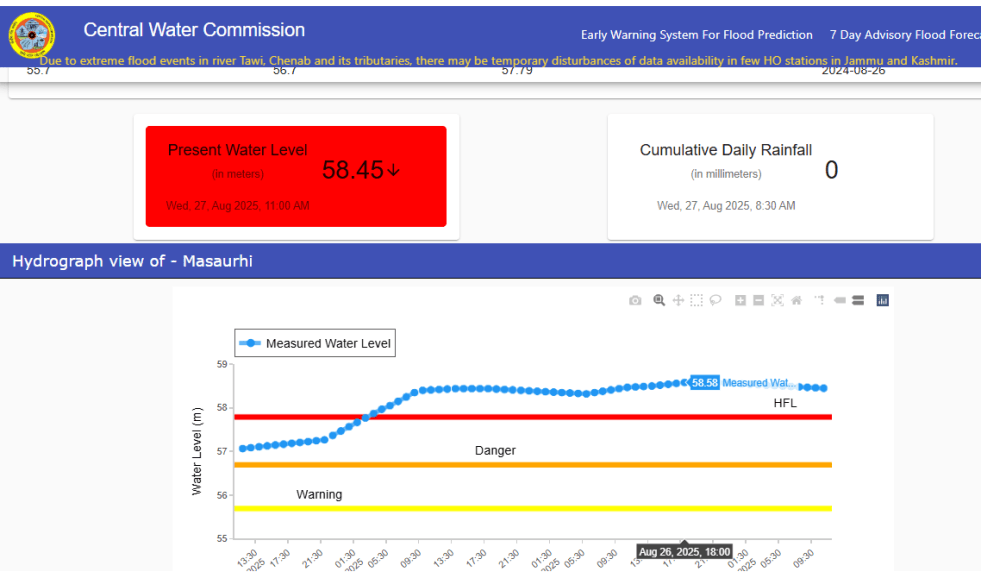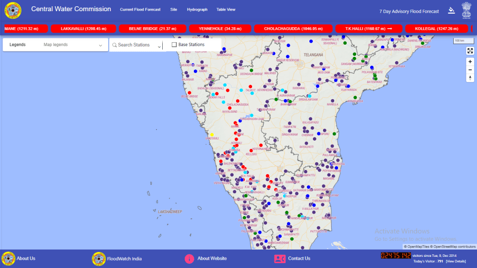
(Feature Image: Screen shot of CWC’s FF website taken on June 11, 2026)
Fundamental problems continue to plague Central Water Commission’s (CWC) flood monitoring work. In the latest such incident, its main Flood Forecast (FF) website remained inaccessible for over a week, right at the beginning of the forecast season.
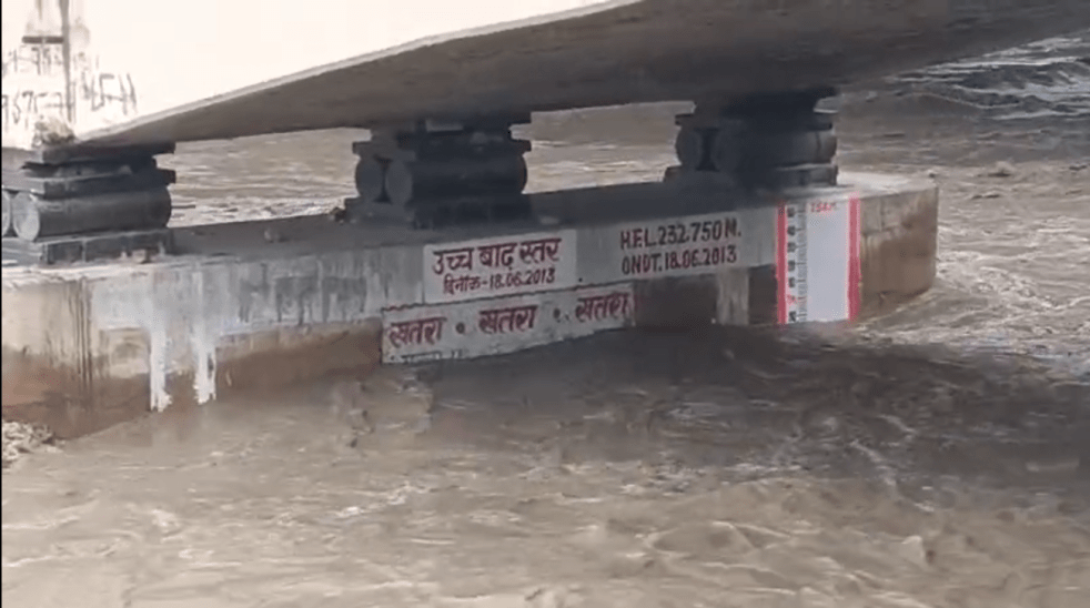
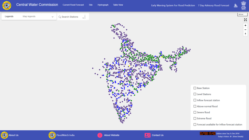
As per a CWC presentation at the annual flood preparedness conference on May 2, 2026, it has a network of 1543 hydrological observation stations & 360 flood forecasting stations including 201 level forecast & 159 inflow forecast stations covering 20 river basins in 27 states & UTs.
Continue reading “CWC Flood Forecast Website Failure at Start of 2026 Monsoon Season”