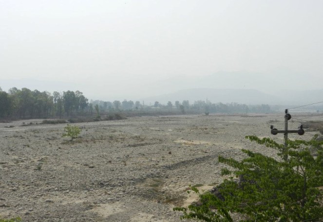
A recent appraisal has found that there is no river in any of the top 50 cities in the country which is not sick or dying with river Yamuna in Delhi-Mathura-Agra and Ganga in Kanpur-Varanasi-Patna leading the list.
Widespread devastations in Uttarakhand (June 2013) and J&K (Sept 2014) and Assam-Meghalaya in North East (September 2014) bring home the fact that disturbed rivers can become dangerous and highly devastating.
Dams, diversions, bumper-to-bumper hydro projects, diverted natural flows, encroached flood plains, embanked river channels, degraded catchments, destruction of local water systems and pollution of various kinds are some of the reasons for the above.
The uncertainties associated with the phenomenon of climate change are predicted to further compromise the integrity of our rivers.
Lack of true understanding and appreciation – amongst planners, decision makers, various government departments as well as the common man – of rivers as ecological systems providing a number of ecological and economic services is a major reason for the sorry state of our rivers.
No wonder, there exists no national policy or law that could provide our rivers security from degradation and exploitation.
With an aim to remedy the above situation, a consortium of NGOs including WWF India, INTACH, SANDRP, Toxics Link and PEACE Institute Charitable Trust, are organizing with additional support from Arghyam (Bengaluru), International Rivers (Mumbai office), and Peoples Science Institute, Dehradun, the first ever India Rivers Week, 2014 as a national event in New Delhi from 24-27 of November 2014.
The venue for the Conference is the WWF India secretariat in Delhi. Sri Ramaswamy R. Iyer, former Secretary, Ministry of Water Resources and a leading expert on rivers in the country is chairing the consortium partners.
Over 100 River experts, planners, researchers, artists, enthusiasts and activists from different parts of the country shall congregate in Delhi for 4 days to discuss, deliberate and exchange their experiences and ideas aimed at the restoration of rivers in the country.
With ‘Rivers in Crisis’ as the theme, the Conference shall endeavor amongst other things to devise a National Charter for Rivers, promote a National forum for restoration of rivers and reward an individual and an organization with remarkable track record of work on rivers with the “Bhagirath PrayasSamman”.
Advice and expertise from river experts and activists from different parts of the country has been solicited in form of a National Advisory Committee to make the event productive and successful.
Even as the government is set to review 6 of the foundational environmental laws of India, the Union Ministry of Environment, Forests and Climate Change (MoEFCC, formerly MoEF) has been issuing a slew of orders, circulars and Office Memorandums (OM)[1] lately for “streamlining” Environmental and Forest Clearance process.
Having said that, there is no doubt that the system of Environment and Forest clearance needs to be made stronger, accountable, transparent, democratic and informed. Ironically, the only way the government has sought to do this is to make the system more industry-friendly. A vast majority of orders passed lately by MoEFCC are pro-industry and anti-environment. Drop by drop, such orders and circulars are making it impossible to rely on the original Environment acts and Notifications as the orders have interpreted Acts in convenient ways. At the same time, the misleading, non-compliance, hiding of information, willfully providing wrong information is rampant from project proponent side, with MoEF taking no firm action. We have illustrated this with very few examples below.
When this is a known case, accelerating clearance process, ignoring necessary studies and bypassing checks and balances is only accelerating our fall to the bottom.
Take an example of OM issued on the 7th October, 2014 titled “Seeking additional studies by EACs/ SEACs during appraisal of project beyond the Terms of Reference (ToRs) prescribed under EIA[2] Notification 2006”(No. 22-A3/ 2O14-IA-III).[3]
In a nutshell, this OM states that “It has been brought to its notice” that Expert Appraisal Committees (EAC for short. EAC is at the center, considering Environmental Clearances for bigger projects) and State Expert Appraisal Committees ( SEAC for short. SEAC is at State level, considering smaller projects for Environmental clearance) have been asking for “additional studies which do not form a part of TOR” and this “delays the whole process and is against the spirit of EIA Notification (2006)” It further says that EAC/ SEAC should address all issues at the primary scoping clearance stage [4]itself, based on Form I submitted by the proponent and meeting of proponent with EAC and should ensure that “no fresh issues are raised later” and that additional information/ additional studies should be asked only if it is proved to be “inevitable”.
This OM clearly seems to be brought out due to pressure from project-related ministries state and industry lobby. We need to understand that EACs and SEACs were asking for Additional Studies in very rare cases. EACs like the one on River valley and Hydropower projects have a clearance record of 100% and rarely asks for additional studies. So what was the need for this specific OM?
This OM does not serve any purpose other than discouraging the committees from asking additional information or studies post TOR stage and is a regressive step.
In reality, the very need for asking such additional studies or information is due to severely compromised information provided by the proponents themselves at the Scoping Clearance stage.
Looking at the EC process it seems hiding information, providing false information, misleading the EAC and even committing blatant violations has become the norm rather than an exception. In very rare cases, when this is exposed before EAC, they have asked for additional studies (instead of taking any strong action, for example rejecting the application or postponing decision till the studies are done, as per the Law and prudent decision making norms). The OM is effectively stating that EACs should process applications based on any shoddy information they receive and should close their eyes even when critical issues surface later in the process. This is like accelerating a flawed process, in a race to the bottom.
Rather than passing such OMs, the Ministry needs to ensure that all the steps of EC process are complied with. That’s not the case today and that’s a more pressing problem than the additional studies. It is this non-compliance that is damaging the “Spirit of EIA Notification 2006” about which the MoEF seems to be least concerned. There is no need for any additional OMs to fix these issues, only real concern for spirit of EIA Notification and other related laws.
Below we give a few examples which indicate the gaping holes in the current system is and how “not asking for fresh information or additional studies” will result in severely flawed environmental decision making.
Basic Project Information (Form I & PFR) has been incorrect, false or incomplete on many occasions:
The OM states that the EACs/ SEACs should base their TORs on basic project information (in the form of Form I & Pre-feasibility Reports – PFR) submitted by the proponent and a brief meeting with the proponent. (Note here that there is no role for any external agency and the Ministry is fully relying of the proponent for project information submitted at this stage.) Form I asks limited questions and a number of times, the answers provided by the proponent are incorrect, incomplete or misleading. Seems to be a sure way to make wrong decisions, doesnt it?
For example:
Sonthi Lift Irrigation Scheme in Karnataka, the Form I took the MoEF for a royal ride. The project was already significantly finished, in violation of the EIA notification and EPA (1986) when the officials approached MoEF for “Scoping” Clearance! And even after pointing out all the blatant violations, the MoEF accepted the project, with no action taken again the violators (Karnataka Neeravari Nigam Limited). We had pointed this out at many stages, see SANDRP’s submissions and notes: https://sandrp.in/Sonthi_Lift_Irrigation_Nov_2013.pdf
In case of 1750 MW Lower Demwe Project in Arunchal, which is part of a string of projects in Lohit Basin with huge cumulative impacts and downstream impacts on Assam, the Form I says “No cumulative impacts”.
In case of 72 MW Rolep project in Sikkim, Form I does not clarify that the project falls is a high landslide and flashflood zone, when landslides and flash floods have occurred at the site itself.
In case of Shirapur Lift Irrigation Scheme in Maharashtra, the Form I was a joke as the half-finished project with canals has been sitting idle for many years in Solapur, blatantly violating EPA,1986. Not only does the Form I hide that the project is nearly finished, is also states that the project “does not affect important ecological areas” or “areas for sensitive species”, when the canal of the project will take 92 hectares from Great Indian Bustard Sanctuary. Incidentally, the MoEF has a special plan for protection of the Great Indian Bustard! (See SANDRP’s submission at TOR Stage https://sandrp.in/irrigation/ShirapurLIS_SANDRP_Sbmsn_to_EAC_Jan2013.pdf)
These are only a few indicative examples and the violations are on a huge scale. We and others have pointed this out to the EAC and MoEFCC over the years, but no action was taken, thus encouraging the developers. We have not heard of a single instance when the MoEFCC has rejected the proposal based on problems with Form I/ PFR and as per the Clause 8 (vi) of EIA Notification 2006, which is reiterated in the present OM.
And now the Ministry wants EAC to take action only based on such information, and without any further studies!
No action is taken when EIA is prepared violating granted Terms of Reference (TOR):
The Ministry is saying that asking for additional information is against the spirit of EIA Notification 2006. The same Ministry does not bat an eyelid when projects are recommended EC (Environment Clearance) by EACs even when they violate the TORs based on which the project received first stage clearance! Is that not against the spirit of EIA Notification?
Here too, SANDRP has pointed this out a large number of times, but this has not been acknowledged in most cases. Some examples:
TORs issued for Sach Khas Project in Himachal Pradesh had specifically asked for study of impact of sudden release of huge quantities of water for generating hydropower (Peaking) on biology of the river. This was not done by WAOCOS, but the EAC and hence the MoEF did not consider this point, even after SANDRP made a specific submission on it. See SANDRPs note: https://sandrp.wordpress.com/2014/08/19/sach-khas-hydro-project-in-chenab-basin-another-example-of-wapcoss-shoddy-eia/
Again this is just an indicative list, showing the extent of real problems.
No action was taken when EIA was plagiarized
There have been multiple occasions when EIA is exceedingly shoddy and even plagiarized! In these cases too, although it has been brought to the notice of EAC/ MoEF, no action has been taken.
For example: In case of Mohanpura Irrigation Project in Madhya Pradesh, plagiarising in WAPCOS EIA was pointed out to the EAC by SANDRP and individual researchers (see : https://sandrp.wordpress.com/2013/11/15/mohanpura-dam-in-madhya-pradesh/) but the MoEF took no action against the agency.
No action was taken when EIA provided misleading information
There are several such examples but the most recent example, is 3000 MW Dibang Project in Arunachal. The EIA agency and Project Proponent has issued misleading information about the impact of the project on the downstream Dibru Saikhowa National Park in Assam. The report states that the water level rise or fall at Dibru Saikhowa due to sudden water release from all projects in the upstream Arunachal Pradesh will be less than one meter, when a different study also considered by EAC shows that this fluctuation when all upstream projects hold back and release water will be 7-8 feet (more two meters)! SANDRP had pointed this discrepancy, but the EAC did not even take a note of this in the meeting and actually recommended clearance to this project! (https://sandrp.wordpress.com/2014/10/06/manipulating-environment-forest-clearances-for-dibang-project-deja-vu-lshp-history-repeated-will-it-be-tragedy-or-comedy/)
To reiterate, the above is a brief, indicative list. SANDRP and other organizations routinely look at the EC process, and we are overwhelmed at the level of non-compliance happening at the proponent end as well as EAC and MoEF level.
The affected communities see how their submissions are either misrepresented in the EIAs, or just not considered by the EAC even when objections are loud and clear in Public hearing reports (like in case of Dibang EIA).
MoEFCC further denigrates the Public Consultation Process
By ordering that no additional information should be sought after TOR stage, the MoEF is deriding the importance of Public Hearing which take places as a part of the Environment Impact Assessment Study, after TORs have been granted. Like in the case of Dibang, major issues raised by affected people have not been raised either in Form I or in TORs or in the EIA and need additional studies.
Now by discouraging additional studies, the MoEFCC is suggesting that even public consultations are immaterial. No more studies, after TOR please! This is an insult of the public consultation process which should form the heart of appraisal and assessment process.
For the same reason, in many countries public hearing is conducted before granting Terms of Reference. In the absence of any such provision, simply stating that additional studies should not be recommended after TOR stage is a seriously regressive step.
Project application documents not availalble in public domain
For basic transparency in Environment appraisal process it is necessary that all the documents (Form 1 and PFR at TOR stage & EIA-EMP and Public consultation documents at EC stage) that accompany the application for environmental clearance are put out in public domain well in advance ( at least ten days) before the projects are discussed by EAC.
Ironically, MoEFCC does not have any legal requirement in this regard and it was Central Information Commission that in 2012 directed the MoEFCC to ensure that. But this is not happening. In fact the projects that are on the EAC agenda are many times not even listed on the relevant environment clearance website (http://environmentclearance.nic.in/).
When this was brought to the attention of the MoEFCC’s concerned officials and EAC, they have taken no action in most cases. The situation has particularly worsened since June 2014, after the new BJP-led government came to power at the centre. It is on areas like these that we need MoEFCC to be pro-active. ( Pass some OMs here!)
In the end The system of Environmental Appraisal and Clearance today lacks accountability, transparency, democratic norms and compliance. Some of the major reasons for asking for additional studies is when the Form I, PFR and EIA do not adequately address issues.
In order to bring in speed and accountability in the appraisal process, there is a need to:
Blacklist and debar EIA consultants which provide plagiarized, misleading or false data in EIA reports
Reject applications based on false or misleading Form I – PFR
Reject applications which do not conform with TORs granted
Consider submissions received from civil society and affected groups at the time of TORs and EC process carefully and consider these as inputs and help for a holistic appraisal, not as adversaries. Invite organisations/ individuals in the EAC meetings when those specific projects are discussed.
MoEFCC needs to ask EAC to show application of mind while appraising projects, submissions, public hearing processes and considering proponent’s response. This serious consideration by the part of EAC should be reflected unambiguously in the minutes of the EAC meetings.
MoEFCC needs to appoint as members and chairpersons of EAC only such persons with a track record indicating knowledge, experience and independence on environment issues. A recent NGT order asked MoEFCC to do exactly, this, but MoEFCC has yet to implement this order.
MoEFCC needs to ensure that all the relevant documents for projects on EAC agenda are put in public domain at least ten days in advance of the EAC meeting, as directed by the Central Information Commission. In absence of such documents in public domain, the EAC should not be considering the projects. (MoEFCC should in fact come out with a notification on this!)
Reject projects which have violated EPA (1986) and EIA Notification (2006). Here too, the MoEFCC regularizes blatant violations by passing OMs.
Most of the above is enshrined in the EIA Notification (2006) and the Environment Protection Act (2006) and there is no need for passing any OM for this, but such steps will automatically make the EC process not only efficient and swift, but also responsive, pro-environment and pro-people.
And this should be the main concern of Ministry of Environment, Forests and Climate Change.
[4] Scoping clearance stage is first stage of Environmental Appraisal Process when the EAC grants Terms of Reference (TOR) to the project based on which Environment Impact Assessment is carried out later
Guest Blog by: Ritwick Dutta (ritwickdutta@gmail.com) Environmental Lawyer, Managing Trustee,
Legal Imitative for Forest and Environment, New Delhi
The review of Environmental Law is currently being undertaken by the High Level Committee (HLC) constituted by the Ministry of Environment, Forest and Climate Change. The task is huge and requires a much more detailed, comprehensive, real and effective consultative process than what is currently being done. The Committee is well within its right to say that such a task cannot be undertaken within such a limited and unrealistic time frame (2 months) and without the required expert composition.
The committee must give suggestions only on how to strengthen environmental law in India and not dilute environmental laws. Undermining environmental law is disastrous for the people, environment and even for economic development. It is pertinent to point out some events which have occurred in recent times which reflects on how the decisions on environment have had disastrous consequences both for the people and the economy.
Contrary to what is generally projected by the Industry Associations and a section of the press, environmental laws are not the cause of slow economic growth. Rather speedy and hasty approvals have been the cause of both environmental, social and economic loss and damage. It is imperative to focus on some facts which would be relevant.
The Ministry of Environment and Forest and its various expert committees never reject a project totally. Even if the approval is declined in one meeting it is presented in a subsequent meeting with minor modification. One can cite the recent case of Dibang Hydro Electric project in Arunachal Pradesh which was recommended for forest clearance despite being rejected twice by the Forest Advisory Committee.
An analysis of the approvals granted by the Regional Office of the MoEF based on recommendation of State Advisory group, the rate of approval is 78 Percent [See report of EIA Response Centre, study from January to April, 2014 at Annexure IIm, see the end of the blog]
The Expert Advisory Committee (EAC) constituted under the EIA Notification 2006 undertakes the task of appraisal at remarkable speed and hasty manner. It is worth quoting from the Judgments of Courts and Tribunals on the manner in which appraisal is done by the Expert Committees.
A. Samata Versus Union of India [National Green Tribunal , Appeal No 9 of 2011,] [Thermal Power Plant in Andhra Pradesh]
‘For a huge project as the one in the instant case, a thermal power plant with an estimated cost of Rs. 11,838 crore, covering a total area of 1675 acres of land, the consideration for approval has been done in such a cursory and arbitrary manner even without taking note of the implication and importance of environmental issues. On the same day the EAC took for appraisal not only the thermal power plant in question, but also other projects which would be indicative of the haste and speedy exercise of its function of appraisal of the project.
“As regards the functioning of the EAC, from the response of the MoEF to the RTI application referred to hereinbefore, it appears that the EAC granted as many as 410 mining approvals in the first six months of 2009. This is indeed a very large number of approvals in a fairly short time. We were informed that the EAC usually takes up the applications seeking environmental clearance in bulk and several projects are given clearance in one day. This comes across as an unsatisfactory state of affairs. The unseemly rush to grant environmental clearances for several mining projects in a single day should not be at the cost of environment itself. The spirit of the EAC has to be respected. We do not see how more than five applications for EIA clearance can be taken up for consideration at a single meeting of the EAC. This is another matter which deserves serious consideration at the hands of MoEF.”
C. Gauraxa Hitraxa Pauchav Trust Vs Union of India [Appeal No 47 of 2012 of NGT] [Pipava port, Gujarat]
“The relevant observations in the EAC meeting reveal that the presentation made by the Project Proponent was accepted as “gospel truth””
D. Sreeranganathan K.P and ors Vs Union of India : [Appeal No 172 -174 of 2013] [Aranmula Airport, Kerala]
“The Tribunal is able to notice a thorough failure on the part of the EAC in performing its duty of proper consideration and evaluation of the project by making a detailed scrutiny before approving the same……The EAC is constituted consisting of a Chairman and number of members who are experts from different fields only with the sole objective of national interest in order to ensure establishment of new projects or expansion of already existing activity without affecting the ecological and environmental conditions. Thus, a duty is cast upon the EAC or SEAC as the case may be to apply the cardinal and Principle of Sustainable Development and Principle of Precaution while screening, scoping and appraisal of the projects or activities. While so, it is evident in the instant case that the EAC has miserably failed in the performance of its duty not only as mandated by the EIA Notification, 2006, but has also disappointed the legal expectations from the same.
The above list is only illustrative and there are many other judgments reflecting the situation with respect to haste with which approvals are granted.
While undertaking any review the Committee must keep into account the following facts, issues and ground realities.
India’s Environmental law are a result of people’s struggle, international convention, commitments and judicial pronouncements and is aimed at ensuring sustainable development. Most provisions of the India’s environmental law have been an outcome of International Conventions pursuant to Article 253 of the Constitution eg, the Public Hearings and Environment Impact Assessment became part of India’s legal framework pursuant to the Rio Declaration of 1992 and the National Green Tribunal was set up pursuant to India’s committment to Principle 10 of the Rio Declaration.
‘Principle on Non-Regression’ has to be applied while undertaking review.
The principle of non-regression is understood as the requirement that norms which have already been adopted by states may not be revised in ways which would imply going backwards on the previous standard of protection.[2] This principle has been traditionally recognized in the area of human rights – that is, once a human right is recognised it cannot be restrained, destroyed or repealed. This theme is echoed in almost all the major international instruments on human rights, including the Universal Declaration of Human Rights. [3] Environmental rights are closely related to human rights as well, including cultural and social rights, and can be interpreted to apply in the context of environmental protection as well. In addition, the principle is increasingly being invoked in the context of environmental protection. The European Union has adopted this view through a resolution: [4]
97. Calls for the recognition of the principle of non-regression in the context of environmental protection as well as fundamental rights.
The Resolution of the UN General Assembly as the outcome document of the Rio+20 United Nations Conference on Sustainable Development reflects the acceptance of this principle as well:[5]
20. We acknowledge that since 1992 there have been areas of insufficient progress and setbacks in the integration of the three dimensions of sustainable development, aggravated by multiple financial, economic, food and energy crises, which have threatened the ability of all countries, in particular developing countries, to achieve sustainable development. In this regard, it is critical that we do not backtrack from our commitment to the outcome of the United Nations Conference on Environment and Development. We also recognize that one of the current major challenges for all countries, particularly for developing countries, is the impact from the multiple crises affecting the world today.
Therefore, the principle of non-regression applies as a human and fundamental right, as well as under the principles of environmental law – like “sustainable development” and precautionary principle”.
The concept of Sustainable Development has to be comprehensively understood and cannot be equated only with economic growth. The Rio Declaration of 1992 has to be comprehensively understood and read not in isolation but as a whole. Public hearings (Principle 10), EIA (Principle 17) Precautionary Principle (Principle 15), Compensation and liability regime (Principle 13) are the core of Sustainable Development and have been incorporated as part of national law. The aim should be to further include these in various laws in a comprehensive manner. Rule of law, the right to participate effectively in matters which concerns one’s life.
Expert Committees, Advisory Committees, Appellate Forums constituted of Bureaucrats do not inspire confidence. This Committee must recommend that any committee or appellate forums should not have any bureaucrats. The working of the National Environment Appellate Authority (NEAA) is a classic example of failure due to the fact that retired IAS and IFS officials were made vice chairman and member. The Delhi High Court in Vimal Bhai versus Union of India [CM No. 15895/2005 in W.P. (C) 17682/2005 has held:
“The list produced by the petitioners of appeals before the NEAA shows that most of the appeals disposed of thus far have in fact been dismissed, comprised as it is of retired bureaucrats, minus the Chairperson and Vice Chairperson. The NEAA is, therefore, at present neither an effective nor an independent mechanism for redressing the grievances of the public in relation to the environment clearances granted both either the State or the Central Government.”
Conclusion:
There is clearly a need to review environmental laws. Yet neither the objective and purpose is clear of the present exercise. The Environment (Protection) Act, 1986 has numerous notifications issued under it. It ranges from EIA Notification to rules regulating the use of Plastics and microorganisms. Will the present review cover all these? These are issues which needs clarity. In addition, the Committee has to genuinely interact with all concerned persons across the country. The present process cannot be called consultative at all.
India’s environment has already impacted negatively due to hasty decisions as evident from numerous decisions of the Courts, the least this HLC can do is not to prepare a hasty report based on limited one sided information and limited public interaction.
[Earlier Blog on HLC: https://sandrp.wordpress.com/2014/09/26/review-of-environment-laws-is-necessary-but-the-tsr-subramanian-hlc-lacks-credibility/]
Ritwick adds in post script: So far as ELMA is concerned, it is not even in a form that can be called as a Bill. The ELMA has many dangerous provisions and the sole aim is to manage the progressive provisions in all the other laws. ELMA gives overriding powers to the environmental authority to pass any direction. The thrust of ELMA is to ensure that those who approach the courts for redressal of their grievances face the threat of penalty. I feel that one of the most problematic provisions of ELMA is the fact that it combines all clearances (CRZ, EC and FC) into one (Single window) with very limited scope for appeal. The Appeal will have to be filed within 30 days of approval and before a Board constituting of two serving or retired secretaries to the Government! The process without doubt was a hurried one.
State Advisory Groups (SAGs): Recommendations for Forest Clearance during January-April 2014
The Forest (Conservation) Rules, 2003 under the Forest (Conservation) Act 1980, provide that proposal involving forest land of more than forty hectare shall be sent by the State Government to the Secretary to the Government of India, Ministry of Environment and Forests (MoEF) while proposals involving forest land up to forty hectare shall be sent to the Chief Conservator of Forests or Conservator of Forests of the concerned Regional Office (RO) of the MoEF.
RO is empowered to scrutinize and sanction the proposals involving diversion of forest area up to 5 hectare. In respect of proposals involving diversion of forest area above 5 hectare and up to 40 hectare and all proposals for regularization of encroachments and mining up to 40 hectare, the proposals are examined by the RO in consultation with State Advisory Group consisting the representatives of the State Government from the Revenue Department, Forest Department, Planning and /or Finance Department and concerned Department (User Agency).
State Advisory Groups (SAGs) are constituted by the Ministry of Environment & Forests, Government of India, under the Forest (Conservation) Act, 1980 for each State and Union Territory.
The view of the Advisory Group are recorded by the Head of the RO and along with the same, the proposals are sent to Ministry of Environment & Forests, Government of India, New Delhi for consideration and final decisions.
The meeting of the State Advisory Group (SAG) is normally held once in a month at concerned State Capital as per a pre-decided schedule for each State and Union Territory.
Agenda and minutes of SAG meetings are uploaded on the MoEF website.
In this report, we have analysed minutes of SAG meetings all over the country from January to April 2014. During the period, minutes of meetings in 10 states are available in public domain.
As per the information available on MoEF website, there were 16 meetings during this period of four months in which 541 ha area has been recommended for diversion. These meeting happened in Gujarat, Maharashtra, Madhya Pradesh, Uttarakhand, Andhra Pradesh, Karnataka, Kerala, Punjab, Tamil Nadu and Odisha. Gujarat leads with maximum diversion of 138 ha followed by Maharashtra with about 100 ha diversion.
It is interesting to note that Transmission Line is at top of the table taking maximum recommendation for diversion, 142 ha (26 %) closely followed by Roads with 138 ha (25 %). If we include Railways which takes 56 ha (11%), it is conspicuous that ‘linear intrusion projects’ are taking 62 per cent of the total recommended diversion.
The total number of projects considered by SAGs during the period was 41 of which 32 were recommended, i.e.78 per cent. It is alarming to note that not even one project was declined by SAG!
Every possible violation of norms, procedures, law and democratic governance is being committed in pushing clearances for the India’s largest capacity hydropower project, which involves India’s highest dam proposed so far & North East India’s Largest capacity reservoir: the 3000 MW Dibang Multi Purpose Project in Arunachal Pradesh. The players involved in these violations include the Union government of NDA led by BJP (UPA earlier), including its cabinet and Union Ministry of Environment, Forests and Climate Change (MEFCC), Ministry of Power, State government, the project developer company NHPC Ltd, the Expert Appraisal Committee (EAC) and Forest Advisory Committee (FAC).
The project will need more than 4700 hectares of biodiversity rich Forest area with several Schedule I species in Arunachal Pradesh. It will also have significant downstream impacts on the people & environment of Arunachal and Assam and Dibru Saikhowa National Park. Most of its impacts have not been either properly assessed or considered by the developer, EIA agency or the EAC & MEFCC.
Déjà vu: We did the same for Lower Subansiri HEP! It seems the government is indulging in the same blunders that the previous NDA government[1] indulged in over a decade ago while clearing the then-largest capacity hydropower project: the 2000 MW Lower Subansiri Hydropower Project (LSHP), also in Arunachal Pradesh. Environment clearance for LSHP came on July 16, 2003 and stage I forest clearance came on June 10, 2003. Exactly the same set of players were involved in manipulating LSHP clearances over a decade ago. The developer is also the same: NHPC. The government at centre is again led by NDA.
Aaranyak environmental group of Assam, in a letter dated May 16, 2002 to the then-Chief Justice of India had highlighted the violations involved at various stages in the decision making of LSHP including during public hearings, in conducting EIA, in giving environment, forests and wildlife clearances. Almost all the issues that Aranayak letter raised then are applicable in case of Dibang with even greater force. But it seems in the twelve years since 2002 when that letter was written, our environmental governance has only degenerated.
The fate of the LSHP is a lesson in itself. After spending over Rs 5000 crores (Rs 50 Billion), the work on the project came to a standstill in December 2011. It has remained stalled for 34 months since then, following India’s biggest Anti dam People’s movement so far. This is unprecedented in India’s hydropower history. NHPC Ltd has been trying every possible trick to resume the construction work on LSHP, without genuinely trying to address the issues people’s movement has been raising.
Dr Mite Linggi, Representative of Kere A Initiative for Cultural and Ecological Security said exactly that at the public hearing of Dibang Project on March 13, 2013: “It is evident that the 2000 MW Lower Subansiri Project is stalled since Dec 2011 because the technical, environmental and social concerns of the people of Assam were not considered earlier… Ignoring downstream concerns will only ensure that this project to will meet the same fate as Subansiri Lower Project (2000 MW and get stalled by people of Assam.”
It seems none of the players have learnt any lessons from the blunders committed in LSHP’s decision making. If this is how Dibang Project is being pushed down the throat of the people of Dibang Valley, Arunachal Pradesh and the North East India, they will have no option but to oppose the project and the Dibang Project may have the same fate as that of LSHP. Those who have been involved in the decision making now will then be held accountable for the wrong decisions and manipulations.
Dam site and the Dibang River Basin (Source – EMP)
THE DIBANG PROJECT
The foundation stone of 3000 MW Dibang Multipurpose Project on Dibang River was laid on 31st January 2008, by Prime Minister Manmohan Singh[2] when the project had no clearances, showing utter disregard the former PM had for statutory clearances or environment or affected people. The project affects Lower Dibang Valley and Dibang Valley districts of Arunachal Pradesh, and significantly, several districts in downstream Assam.
Considering the fact that Dibang has the largest installed capacity for a project in India, involving highest dam in India and biggest reservoir in North East India so far, one expected the EAC to be much more diligent while considering the project and even more so considering the experience of the LSHP. But that, it seems, was expecting too much.
The first thing that would strike any one who goes through the EAC and FAC documents is that the basic parameters of the project are yet unclear even as the EAC and FAC have recommended clearances, within the span of a week, under pressure from their political masters. Unbelievably, these two committees functioning under the same Ministry have recommended clearance for differing capacities, differing heights, differing submergence areas and so on!
This is because the NHPC knowingly misled the EAC in its meetings by presenting the 288 m height (above the deepest foundation level) dam with 545 m elevation at Full Reservoir Level (FRL) and 3.75 Billion Cubic Meters (BCM) of storage capacity at FRL. The same NHPC, in FAC meeting on Sept 22, 2014 provided sensitive analysis with dam height reduced upto 40 m, but this was not even mentioned before the EAC!
Let us review the how the EAC and FAC dealt with the project.
A. ENVIRONMENTAL CLEARNACE FOR THE DIBANG PROJECT:
The Expert Appraisal Committee (EAC) of the MoEF, which holds the distinction of having a zero rejection rate for the projects it appraises, recommended Environment Clearance to 3000 MW Dibang Multipurpose Project in its 77th meeting on 16th Sept, 2014.
The Project was given TOR (Terms of Refence) clearance on 17.8.2009. Public hearings in Lower Dibang and Dibang Valley districts were held on 11.3.2013 and 13.3.2013 respectively, with huge protests from affected people. The EAC earlier considered the project in 68th meeting in Sept 2013, in 73rd meeting in March 2014, in 74th meeting in May 2014 and now in 77th meeting in Sept 2014.
Some key questions that arise as to how the EAC arrived at the positive recommendation:
1. Was there any Public Hearing in downstream Assam? Was there proper public hearing in Aruunachal Pradesh?
Although Dibang Multipurpose project will have impacts in the downstream Assam, as accepted by NHPC Ltd, WAPCOS and recorded in EAC minutes, no public hearing has been conducted in Assam, in complete violation of the EIA notification which clearly states that in all affected districts public hearings must be held. The submissions from Assam were not discussed during EAC minutes. The people of Assam have been completely ignored in the decision-making about a project that will affect them. Several people who spoke at the Dibang Public Hearing in Arunachal Pradesh in March 2013 raised this issue, but MEFCC and EAC failed to do anything about this even after SANDRP submissions to EAC also raised this issue.
Even in Arunachal, the public hearing process has seen several violations, leading people to oppose the project and the public hearings, see the quotes from the public hearings given below. Consequently, the public hearings were disrupted by the local people and had to be cancelled several times. The MEFCC, unfortunately, has no concern for the quality of the whole consultation process and sees it as only a box to be tick marked. The EAC does not even look at issues related to public hearings.
View of One of the affected villages show the rich forest that the project will destroy (Source – EIA)
2. Were the issues raised at public hearing in March 2013 addressed?
No. As is clear from the report of the public hearing for the project held at Roing and New Anaya on March 11 and 13, 2014 respectively, the affected people raised a lot of critical issues about the project, EIA, EMP and Public hearing.
In the Minutes of the 68th meeting of EAC held in Sept 2013 and the 73rd EAC meeting held in March 2014, there is one paragraph (same para in both minutes) on public hearings: “Concerns Raised During Public Hearings It was explained that in general, the people were satisfied with the EIA and EMP reports and proposed R&R plan and community and social development plan. R&R plan has been formulated in line with the State R&R Policy, 2008. They took keen interest in knowing the R&R package and community and social development (CSD) plan. However, during public consultation prior to public hearing and during public hearings of Dibang Multipurpose Project, in addition to community and social development plan more infrastructural development in both Lower Dibang Valley and Dibang Valley Districts were sought viz., up gradation of District Hospitals in both districts, financial assistance for schools, colleges and polytechnic, and construction of cultural museum at Roing and ITI at Anini etc. Besides this for downstream people, the main concern was protection of downstream area in case of dam break / high flood. Keeping this in view, a lump sum provision of Rs. 17100 lakhs has been proposed for consideration of MoEF for mitigative measures at downstream and other infrastructural facilities as raised during public hearings in addition to R&R and CSD plan.”
The claim that “in general, the people were satisfied with the EIA and EMP reports and proposed R&R plan and community and social development plan” is a complete lie, as we see from the quotes from the official public hearing minutes below.
It seems the EAC members have not bothered to read the public hearing report, and they have willingly or unwillingly been misled by the NHPC and EIA agencies. To illustrate the critical issues raised at the public hearings, we are giving below some quotes from the official public hearing report. Most of these reports remain unaddressed in the EIA-EMP submitted to the MEFCC, but MEFCC and EAC has not bothered to check this.
Shri Lokha Elapra, President, All Idu Mshmi Students Union: “Poor planning of mitigation from impacts during construction phase. Mitigation measures fail to address issues of demographic impacts, socio-cultural concerns and preservation of traditional land and livelihood… EMP does not have any provision to address this. EIA and EMP does not have any mitigation measures to preserve nor compeansation for permanent loss of mithun grazing areas, fishing grounds and medicinal plants thus endangering the loss of Mishmi Takin (rare Animal), Mishmi Monal (rare Bird) and Mishmi Teeta (rare medicinal plant)… Flood control of Eze (Deopani River to protect Roing Township… A cumulative impact study in the Dibang river basin must be undertaken.”
Shri Raju Mimi, Member, Mishmi Scholar’s Association: “NHPC had undermined the seismic design parameters as recommended by the experts of IIT Guwahati, Guwahati University and Dibrugarh University in respect of the Subansiri Dam. In this regard can the community members of the affected areas be certain that such careless disregard for dam safety be not repeated by NHPC in this case? All the documents related to dam design and safety be made public. Also, the documents should be peer reviewed by independent group of scientists. Ecological concerns like extraction of boulders from ecologically sensitive Important Bird Area (IBA). No impact assessment made regarding this in the EIA report… Hence a cumulative impact study in the Dibang river basin must be commissioned. Socio-economic concerns like the catchment area treatment (CAT) plan will restrict land use resulting in loss of land and livelihood. NHPC must ascertain such losses and compensate the people affected by CAT… There is possibility of loss of land by destabilization of soil due to the huge reservoir. What mechanisms will be implemented to address these losses? ”
Shri Kelo Pulu, President IMCLS: “Environment Monitoring Cell to assess and review the various mitigation measures as mentioned in the EMP is not convincing. Therefore, the Government of Arunachal Pradesh should immediately notify the formation of an independent Committee consisting of less than 5 members of local Idu Mishmi people.”
Shri Moba Riba: “Conduct Public hearing at Dambuk Sub division.”
Shri Jibi Pulu: “Additional EIA-EMP must be undertaken to ensure the minimum impacts to the ecology of Dibang area. The Community people will lose an area of 10390 ha that will be required for CAT plan. This area being grazing area of Mithun will be lost. The EIA does not have any data or estimate/ valuation of this resource. Without any compensation the livelihood rights cannot be taken away from the community. EIA studies about wildlife conservation is inadequate. EIA studies carried out regarding assessment of economic and medicinal plants is not project specific nor community focused. It does not have any reference, assessment and compensation of economically valuable plants like Piper mellusa and Paris polyphylla. The impact of 1950 earthquake of 8.7 magnitude.. Is the dam axis and reservoir standing along the seismic fault line? The impoundment of the drainage system by building dam will have major effect.. Hence, EIA studies on downstream impact particularly study of Deopani drainage and its siltation status is absolutely necessary.”
Dr Mite Linggi: “As recommended by the Planning Commission Committee we demand for a Dam safety design panel for an independent assessment of safety of Dibang Dam. There are lacunae in EIA-EMP reports. This must be rectified.”
Shri MartinLego: “Resistance capacity of the mountains which fall in the reservoir is not studied. Dam should be able to withstand flashflood. Construction of flood protection works with RCC wall supported by vegetative cover on both banks of Dibang River… Our demands must be fulfilled then only we will support.”
Shri Mibom Pertin, President Adi Bane Kebang (ABK):“Till date no initiative has been taken by the State Government, the district administration or the NHPC to educate the people… the EIA EMP must be modified/ rectified wherein safety measures and actions to be taken in case of dam break… Until and unless the above points are fulfilled the holding of this public hearing is strongly opposed by ABK.”
Shri Jowar Moyang: “Demand to establish a family dossier of the entire downstream people… Downstream not reflected in the EIA/EMP and DRP therefore, a separate guideline be made to include the downstream within the defined local area. The demands placed above must be addressed to within three months of this hearing or else will protest against the construction of the project.”
Shri Nun Pertin, President, Dibang Adi Students’ Union (DASU): “Downstream people are unaware of the project benefits, impacts and other issues which are mandatory to be known before the commencement of the project. Therefore, public hearing in this regard must be conducted within blocks and subdivision of Lower Dibang Valley. This must be furnished in written assurance form within one week’s time. ”
Shri Anjite Menjo, Zilla Parishad Member, Iduli Anchal Block and Shri Chiliko Meto, ZillaParishad Chairperson: “Environment Monitoring Cell to assess and review the various mitigation measures as mentioned in the EMP is not convincing. Therefore, the Government of Arunachal Pradesh should immediately notify the formation of an independent Committee consisting of less than 5 members of local Idu Mishmi people… Hence a cumulative impact study in the Dibang river basin must be commissioned.”
Dr Mite Linggi, Representative of Kere A Initiative for Cultural and Ecological Security (KICES): “It is evident that the 2000 MW Lower Subansiri Project is stalled since Dec 2011 because the technical, environmental and social concerns of the people of Assam were not considered earlier. Report of the Planning Commission appointed Committee of Dr C D Thatte and M S Reddy has raised several serious concerns about the downstream impacts of the 2000 MW Subansiri Lower Project. Therefore, keeping this in mind, it is absolutely important that public consultation in Assam is carried out before the Dibang project gets environment clearance. Public consultation in Assam is not only necessary to address the concern of the people, but it is a pre-requisite for the people of Dibang Valley in the upstream… Ignoring downstream concerns will only ensure that this project to will meet the same fate as Subansiri Lower Project (2000 MW and get stalled by people of Assam. Rights of the people to use Catchment Area will be denied. Will compensation be included for them? Is it possible for NHPC Ltd to formulate new criteria for all those villages perched atop to include within affected families?”
Shri Lokha Elapra, President, All Idu Mishmi Students’ Union (AIMSU): Raises most of the critical issues raised above including need for Cumulative Impact Asessment, inadequate EIA-EMP, Impacts of demographic changes, lack of assessment of loss of grazing land, fishing right. “We do not want to be refugees in our land.. We the Idu Mishmi have a way of living where we live independently. Past history is proof of it. We had never been ruled and can never be ruled under any circumstance or vice versa. The plot which the NHPC Ltd claim giving free of cost is by virtue forcefully asking us to live in that piece of land where the PAFs are not satisfied.”
Shri Athupi Melo, Ex-ZPM, Anelih-Arju Block and Representing New Endoli village: “Public hearing on Dibang Multipurpose Project (3000 MW) was postponed 10-14 times earlier as the consent of the public was not taken before preparing EIA and EMP reports. The NHPC Ltd had cheated the entire affected people by concealing information and letting the awareness remain within the high reach people only. The NHPC Ltd as per their survey has shown 5 villages, 72 families, 243 persons, 938.8 ha of agriculture land as to be affected by the project. Do they know that the storage reservoir will submerge the land mass which belongs to another 34 villages of the valley?”
Shri Kupu Miku-ASM Arzoo and Representative of Apako village: “Had been resisting NHPC Ltd for the last ten years. Nothing was made known as to how much land would go and how much compensation would be provided.”
Shri Rezina Mihu, General Secretary, All Idu Mishmi Students Union (AIMSU): “It has been six yeas of resistance till this morning. The former President of AIMSU sacrificed his life fighting against the Dibang Project… the EIA-EMP is still not upto the mark.”
This selection of quotes from the Public hearing and reading of NHPC response, EIA-EMP and EAC minutes show that not only NHPC has failed to satisfactorily respond to most of these issues, the EAC and MEFCC has not even bothered to check the veracity of the claims of NHPC and uncritically accepted the NHPC claims. Inadequate response to the issues raised at the public hearing means that environmental clearance given to the project is legally untenable.
Anxious afffected people outside the public hearing Hall in March 2013 (Source – PH Report)
3. Has there been proper Environmental Impact Assessment of the project? Kalpavriksh, SANDRP, affected groups from Assam and Arunachal have made several independent submissions to EAC on the inadequacies of the EIA (Environmental Impact Assessment). SANDRP itself sent four different submissions (dated Sept 20, 2013, April 2014, May 2014 and Sept 12, 2014) highlighting various inadequacies of the EIA including:
Lack of compliance with the Terms of Reference of the EIA
Lack of basin wide cumulative impact assessment
Impact of mining of materials for the project not assessed
Lack of downstream impact assessment (more details below)
Lack of assessment of how climate change will affect the project and how the project will worsen the climate change impacts.
Lack of options assessment
Severe Impacts of Migration of Outsider on Local Tribal Community not assessed
Impact of the project on disaster potential in the project area as well in the downstream including Assam not assessed
Impact of changing silt flows downstream not assessed
As noted above, large number of speakers at the public hearing also pointed out the inadequacies of the EIA-EMP.
4. Are downstream impacts on Assam & Arunachal Pradesh Studied?
No credible study of the impact of the dam, dam break and peaking on Assam and Arunachal Pradesh in the downstream has been done.
Several speakers at the public hearing raised this issue of inadequate downstream impact assessment, as can be seen from the quotes from the public hearing listed above.
It may be mentioned here that the biggest issue plaguing the LSHP is lack of downstream impact assessment, and the EAC, MEFCC, NHPC or the EIA agencies (WAPCOS, which by now is notorious for doing substandard studies and National Productivity Council). Even Assam and Arunachal Pradesh state governments also seem least bothered. Also, it seems no lessons have been learnt after Larji mishap when 25 students were washed away due to demand-driven water releases by upstream hydropower project.
5. Has the impact of Peaking on Downstream Assam & Arunachal Pradesh studied?
NO
This is despite the fact that submissions were sent to the EAC from several organizations and individual also from Assam, drawing their attention to impact of peaking in downstream Assam, especially in lean season (winter) when flow fluctuations will range from 111 cumecs (Cubic meters per second) to about 13 time rise in volume at 1441 cumecs in a single day. Fluctuations can happen twice or thrice in a single day.
6. Has the impact on Dibru Saikhowa National Park in the downstream Assam studied?
NO
The EAC has shown zero application of mid in this respect. There are several hydropower projects being constructed on the three main tributaries of Brahmaputra upstream of Dibru Saikhowa National Park in Assam. All these hydropower projects will undertake peaking operations. EAC has considered these projects separately, as a part of basin studies and as a part of downstream impact studies on Dibru Saikhowa National Park.
In all these studies, the level fluctuation at the National Park when the three major projects in the upstream undertake peaking operations is different, as per the convenience of the project proponent! EAC has considered all these studies without raising any questions about this convenient difference in figures even when the contradictions were brought to EAC’s attention by SANDRP.
The EAC has recommended Clearance to Dibang Multipurpose Project accepting the contention of the NHPC that “water level fluctuation in Dibru Saikhowa National Park (DSNP) will be less than one meter.”
However, the same EAC has considered EIA of Lower Siang HEP (by WAPCOS) where the fluctuation at Dibru Saikhowa when all projects are peaking is said to be 8 feet (2.38 meters)
The Report on “Effect of Peaking power generation by Siang Lower HEP, Demwe Lower HEP and Dibang Multipurpose HEP on Dibru Saikhowa National Park” also by WAPCOS states that level difference when all three projects are peaking is estimated to be 34 mts i.e. 7.67 feet. (Page 26)
EAC did not question these glaring differences in these models even when a submission highlighting these points was sent to the EAC on 13.09.14, before the 77th EAC meeting. The submission is not mentioned in the minutes, neither discussed, also violating Hon. Delhi High Court Orders (Utkarsh Mandal Case).
7. EAC decision violates its mandate; MEFCC & NHPC guilty of misleading EAC.
During the entire appraisal process, the EAC has failed to pose any difficult questions to NHPC, has not taken a stand supporting Assam, has not even initiated discussion in that direction, has turned blind eye towards submissions it received raising critical concerns, has overlooked contradictions, has overlooked precautionary principle and welfare of people in the downstream Assam and has refused to learn any lessons from the LSHP experience or the Larji Mishap.
While discussion about height reduction of Dibang upto 40 meters were initiated in MEFCC/ NHPC since Feb 2014, the MEFCC or the NHPC has not brought this proposal to the attention of the EAC and the EAC has taken absolutely no notice of this and has not even asked for this 40 m height reduction. The only reference we can find to the height reduction proposal is in the minutes of the 73rd EAC meeting, where too there is reference to only 10 m ht reduction. And yet, there is no mention of this in the minutes of the 77th EAC meeting where the EAC recommended clearance to the project.
This alone is sufficient to make the EAC decision legally untenable and make both MEFCC and NHPC guilty of not informing the EAC about these developments more than six months after they were initiated.
The EAC on its part has not shown the will to ask for a realignment of the project to minimize its downstream impacts, peaking impacts and submergence impacts. Such biased conduct and the decisions of the EAC, sidelining genuine concerns are in complete violation of the mandate given to EAC and extremely damaging to environmental governance of the country and are a reason for increasing conflicts, delays, protests and strife underlining its callousness towards environmental impacts and local resistance.
The issues that FAC raised while rejecting the Forest clearance are the very issues that EAC should be concerned about since they are under their mandate. But not only EAC did not raise them on their own, but even after they were brought to the EAC’s attention by SANDRP, the EAC failed to even discuss those issues.
8. Issues on Dibang raised in earlier EAC meeting remains unanswered
The decision making paragraph of the minutes of the EAC meeting of Sept 16-17, 2014 on Dibang Project reads: “After critically examining the proposal and considering the response to various issues raised in the earlier EAC meetings, the project was recommended by EAC for accord of Environmental Clearance to Dibang Multipurpose Project. However, EAC suggested that 20 cumec flow may be released towards e-flow in the 1.2 km diverted stretch as 15 cumec gives just sufficient quantity. EAC noted that beyond this 1.2 km, adequate flow will be available from TRT which will be minimum in the order of 85 cumec at 80% rated discharge of one turbine.”
It is clear that this paragraph does not reflect any application of mind by EAC if the response provided by NHPC to the various issues raised by EAC and others’ submissions to EAC are adequate. Even in this paragraph, it is not clear what is the basis of EAC decision to recommend 20 cumecs flow downstream of the dam and not the norm that EAC is following for other projects (30% in monsoon, 20% in lean season and 20-25% in non monsoon non lean season). Nor is it clear what is the basis and impact of operation of one of the (there are 12 turbines, each of 250 MW installed capacity in this project) turbine at minimum 80% capacity round the clock. This non application of mind on the part of the EAC is the norm of EAC and not an isolated incident.
In fact, reading through the minutes of all the EAC meetings since Sept 2013 where Dibang EC (Environment Clearance) was discussed, it is clear that while EAC has raised a large no of questions and reported some of the information submitted by NHPC, no where can we find application of mind of the EAC where it is stated that the information/ responses provided by NHPC is adequate or not. The uncritical acceptance by the EAC about the information/ responses provided by the developer is another noteworthy feature of EAC decision.
Let us illustrate this. The minutes of the 73rd EAC meeting held in March 2014 says: “A detailed fisheries (also flora and fauna) survey was conducted by Centre for Inter-Disciplinary Studies for Mountain and Hill Environment (CISMHE), Delhi University in the month of December 2013.” Immediate question than arises is, why were the fisheries and other surveys done only in one month and not across the year as is the normal practice? What were the outcomes of the study? You will find neither critical questions, nor any answers in the EAC proceedings.
Here is another example. The minutes of the 74th EAC meeting held in May 2014 says: “It was informed that fluctuation in the water level at upstream of Dibang-Lohit confluence due to peaking operation will be about 17 cm which is almost negligible considering the size of the river.” Shockingly, the EAC does not even ask: A. If this estimate is sound and if it is consistent with conclusions of other studies; B. What will be the level fluctuation at different points along 60 km stretch of the river upstream from this point to the project site and what will be the impact there of. EAC’s such uncritical acceptance of apparently contradictory and inadequate responses from the developer is the norm and not an isolated incident. Considering that EAC was considering the largest installed capacity project of India, highest dam of India and biggest reservoir in North East India so far, one expected the EAC to be more diligent. This was even more so considering the experience of the LSHP.
To further illustrate, the minutes of the 74th EAC held in May 2014 says: “The point-wise reply to the two representations submitted by Kalpavriksh was submitted to MoEF and EAC members and the same was also presented before EAC during the meeting.” Similarly, the minutes of the 73rd EAC meeting held in March 2014 says: “point-wise replies to the issues raised by Shri Chow Rajib Gogoi, Secretary, All Tai Ahom Student Union, Jorhat and Shri Pushp Jain, Director, EIA Resource and Response Centre (ERC), New Delhi were also given”. But in both cases, there is not even a word as to whether EAC discussed the NHPC response and if they did what was their conclusion about adequacy or acceptability of the NHPC responses.
As far as four separate submissions sent by SANDRP to EAC on Dibang Project are concerned, EAC neither mentioned them, nor did it seek NHPC’s response on them.
Considering all this, the decision of the EAC to recommend EC to the Dibang Project is clearly wrong, based on inadequate appraisal, in the absence of application of mind and legally untenable.
Active Lanslide zone in submergence area of Dibang Project (Source – EIA)
B. FAC DECISIONS ON DIBANG PROECT
It has been reported[3] that the Forest Advisory Committee of the MoEF has recommended clearance to 3000 MW Dibang Multipurpose project in its meeting on Sept 22, 2014, though the minutes of the FAC meeting are as yet unavailable. This decision is reversal of FAC’s clear rejection to the project twice in past 2 years[4] in addition to MEFCC’s rejection letter to the project as late as on the 28th August 2014.
MEFCC was pressurized by the Cabinet Committee on Investment, Ministry of Power and even unrelated Ministries like Ministry of Mine, Ministry of Steel and Ministry of Coal into clearing the Dibang project. FAC itself was under pressure of the MEFCC minister and its highest officials to clear Dibang at any cost.
Relevant papers regarding height reduction proposal by NHPC were not uploaded on FAC Website in advance of the Sept 22, 2014 Meeting.
It is unclear if even the FAC Members had these documents, which form the basis of project consideration.
The height reduction proposal was not available to the EAC members a week earlier before EAC recommended clearance to the project.
FAC’s recommendation on Dibang project is clearly an undemocratic and illegal decision in the absence of prior information in public domain for all concerned, and when all the original objections raised by FAC while rejecting the project twice remain unaddressed.
Let us look at the timeline of FAC decision making on Dibang Project:
12.06.13: FAC rejects Dibang FC (Forest Clearance) Proposal. Reasons: “huge forest area with very good forest cover, irreparable and adverse impact on general eco-system of the area by felling of more than 3.5 lakhs of trees, several other HEP have been proposed in the same river valley apart from Dibang HEP, unavailability of study on cumulative impact of all the HEP, etc. The Committee is also of the opinion that ecological, environmental and social costs of diversion of such a vast track of forest land, which is a major source of livelihood of the tribal population of the State, will far outweigh the benefits likely to accrue from the project.”
13.08.2013: Meeting of Secretary, Ministry of Environment and Forests and the Secretary, Ministry of Power held and it was decided that proposal will be considered again after exploring the possibility to reduce the requirement of forest land for the project.
9.12.2013: Project discussed by the Cabinet Committee of Investment which nearly ordered fast clearance for Dibang Project. It stated: “Ministry of Environment and Forests may grant the requisite clearance for diversion of forest land expeditiously.” Such direction from CCI was clearly in violation of the Forest Conservation Act 1980 which clearly defines the process for forest clearance and where CCI has no role.
10.02.14: NHPC revises proposal and submits two alternatives, reducing height by 5 m and 10 meters respectively. Marginal decrease in submerge of forest land due to 10 meters reduction. NHPC Officials say any further reduction will not be possible.
Revised Diversion proposal with reduction of 10 mts height and 445 hectares forest area submitted to MoEF with new proposal for total diversion of 4577.84 hectares.
29th-30th April 2014: Revised proposal discussed in FAC with 10 meters reduction. The revised proposal was incomplete in many basic respects like absence of maps, CAT Pan, FRA compliance, identified land for Compensatory afforestation, etc. In addition, the FAC noted that the region is home to Schedule I species, the reduction in forest loss due to decrease in height in minimal and will not have substantial ameliorative impact, It said “Such a marginal reduction in requirement of the forest land for the project may not be able to reduce the adverse impact of project on such a biodiversity rich mature forest ecosystem to the extent which could make the project environmentally as well as socio-economically viable in forest dependent tribal society of Arunachal Pradesh”. FAC also noted that impact of reduction of dam height on its economic feasibility was not put before the committee.
16.06.2014: Secretary Power writes to Secretary, MEFCC on 16.06.2014 to review the decision of FAC and accord the Stage-I forest clearance. Such direction from letter was clearly in violation of the Forest Conservation Act 1980 which clearly defines the process for forest clearance and where Power Ministry secretary has no role.
19.06.2014: Joint meeting held between Ministry of Mine, Ministry of Steel, Ministry of Environment Forests and Climate Change and Ministry of Coal, attended by the Ministers and Secretaries of the respective Ministries, as well as Secy, Ministry of Power wherein it was decided that a report on sensitivity analysis of dam height reduction by 40 meters shall be submitted to MoEF and action will be taken only after that.
24.06.2014: Secy, Ministry of Power writes to MEFCC & submitted a report on the sensitivity analysis on the dam height reduction upto 20 meters. However, MEFCC maintained that that as decided in the meeting the sensitivity analysis report was not submitted by the project proponent.
28.08.14: MEFCC sends letter rejecting Forest Diversion Proposal of Dibang Multipurpose Project on the basis of 10 meters height reduction, rich forest, social impacts and also downstream impacts on Assam, including Dibru Saikhowa.
5.09.2014: MEFCC writes to (NHPC/ Min of Power) to submit sensitivity analysis of reduction by 40 meters.
08.09.14 (This letter of 08.09.14 was uploaded on MEFCC FAC website on the day of the FAC meeting, 22.09.14): NHPC submits letter to MEFCC about sensitivity analysis for height reduction from 5m-40 meters. While it highlights the loss in installed capacity (780 MW) and loss in revenue due to 40 m reduction, it downplays the fact that 40 mts reduction will bring down forest land requirement by 26%. It concludes, without substantiation that “Decrease in dam height and consequent sacrifice in power generation beyond 10 mts reduction is not commensurate with saving forest land” and further recommends only 10 mts height reduction, which proposal the MEFCC had rejected in its Apr 29-30, 2014 meeting.
21.09.14: No sensitivity Analysis uploaded on MoEF FAC Website. SANDRP sends a submission urging FAC not to consider the project in the absence of this analysis in public domain as it violates CIC orders. People affected by the project have no idea of this analysis which is the basis of decision making in the next day’s meeting.
22.09.14: Day of the Meeting: Suddenly Additional Information document accessed (and downloaded) on 21.09.14 changes, with two additional pages and letter from NHPC about sensitivity analysis is uploaded ON THE DAY OF THE MEETING.
23.09.14: News that FAC has recommended clearance to Dibang was already public.
CONCLUSION As noted earlier, the Dibang Project is the largest capacity hydropower project, the highest proposed dam and largest proposed reservoir of North East India. One expected all concerned to be diligent in taking decisions on such a project. However, it is clear from this narrative that the process of environment and forest clearance for the Dibang Project is fundamentally flawed, inadequate and in violation of all norms of democratic and informed governance. Significantly, it is also illegal and untenable. Such manipulative decision-making has led to flawed decisions of environmental and forest clearances in case of LSHP in 2003, with the project stalled by people’s agitation since 34 months now. If the Dibang Project, which is bigger than LSHP in every respect and with much greater impacts, is pushed in such a manner, it is likely to face the same fate as that of the LSHP. We hope that the final decisions related to Dibang Project will be more informed, diligent, democratic, unbiased and objective. Admittedly, such hope seems rather farfetched at this moment.
[1] This is not to state that the UPA government that ruled India during the 2004-2014 decade was in anyway more sensitive to environment or democratic concerns. In fact part of the EC and FC time line and some of the manipulations happened before May 2014 when the current government took over. However, it is apparent that the current government has indulged in much more violations and manipulations and pressurized the statutory bodies (including FAC & NBWL reconstitution).
[5] A video titled “Dibang Resistance (Arunachal Pradesh)” depicts the protest and blockade by local people against the Dibang dam. The video can be viewed here: https://www.youtube.com/watch?v=m8TCUKh2hQY
[6] Mimi, R., “The Dibang Multipurpose Project, Resistance of the Idu Mishmi” published in “Water Conflicts in Northeast India – A Compendium of Case Studies” edited by Das, Partha J. et. all, 2013
A study done by the National University of Singapore (NUS) predicted that dam related activity in the Himalayas will submerge and destroy 17,000 ha of land. The Himalayas have a dam density which is 62 times greater than the current global average[i]. The trouble is that Professor Maharaj K Pandit, who led the NUS study, has deep entrenched interests in hydropower business, having led seriously problematic Environmental Impact Assessment and Cumulative Impact Assessment studies that have never said NO to any project, never raised the issues he is raising in NUS study in any of the EIA or CIA study he has led. Several of his EIAs have been found to be seriously inadequate, incomplete and supporting hydropower lobby.
In 2010, a Comptroller and Auditor General (CAG) had stated that more than 40 hydro projects in the region was a serious threat to nature and bio-diversity of the region[ii]. The impact these dams have on the environment and people has been clearly seen in the light of the 2013 floods which wrecked havoc in the state. There are constant delays and faulty constructions due to lack of strict supervision which then endanger the lives and livelihoods of the local population. Despite this, the government pushes on for more and more projects.
American Met Society confirms role of Climate Change in Uttarakhand floods In an annual extreme-weather report of September 2014, the Bulletin of the American Meteorological Society has[iii] listed the Uttarakhand disaster of June 2013 as among the 16 extreme weather events of 2013 where role of climate change is undeniable. Unfortunately, Indian government is neither clearly acknowledging this reality, nor identifying the victims and demanding justice for them. While Uttarakhand disaster was a clear warning in this regard, the Sept 2014 floods of Jammu and Kashmir is another one showing how vulnerable the Himalayas are to the climate change.
American Meteorology Society confirms role of Climate Change in Uttarakhand Disaster of June 2013 (climatecentral.org)
Post-flood scenario: In the 2013 floods, about 19 projects were completely washed away resulting in affecting 35 % of the state generation capacity[iv].
Estimated losses from damage to hydropower projects on the Ganga
Project
Location
Capacity
Estimated Loss
Dhauli Ganga
Pithoragarh
280 MW
Rs 30 crore (project completely submerged)
Kaliganga I
Rudraprayag
4 MW
Rs 18-19 crore (power house and 4 houses washed away)
Kaliganga II
Rudraprayag
6 MW
Rs 16 crore (power house and 4 houses washed away)
Following the orders of the Supreme Court on Aug 13, 2013[v] in the after math of the June 2013 flood disaster, an Expert Body (EB) was formed under Dr. Ravi Chopra to assess the role of dams in the flood disaster. In its report it was recommended that 23 projects be dropped altogether in the Bhagirathi-Alaknanda basin and studies be initiated in all other basins. The court had stayed work on 24 out of 39 projects last year after the floods[vi] and had also stayed clearance to any more projects in the state. (To know more about the recommendations of the EB read SANDRP’s blog: https://sandrp.wordpress.com/2014/04/29/report-of-expert-committee-on-uttarakhand-flood-disaster-role-of-heps-welcome-recommendations/.)
The major reasons for amplification of floods according to the report were the mountains of silt, sand, and boulders that “construction crews excavated to make room for at least 30 big and small hydropower projects, and left unmanaged along the riverbanks. The rushing high water scoured the banks, dissolved the mountains of construction spoils, and pushed the mud and boulders downstream, burying low lying communities”[vii]. SANDRP has been continuously demanding an assessment of the hydropower projects and the potential danger they cause, even before the Supreme Court order (see: https://sandrp.wordpress.com/2013/07/20/uttarakhand-disaster-moef-should-suspect-clearances-to-hydropower-projects-and-institute-enquiry-in-the-role-of-heps/).
Despite the report of the Expert Body, the Central Electricity Authority and the Central Water Commission, working like a lobby for big dams and hydropower projects, do not agree that dams had a role to play in the 2013 disaster[viii]. This led the CWC to even cause violations of the order which it thought it could hide under the register (to know more about this visit SANDRP’s blog https://sandrp.wordpress.com/2014/05/15/cwcs-national-dam-register-violates-laws-and-sc-orders-on-uttarakhand-dams/’)
Also, despite the stay on clearances, the 300 MW Lakhwar Project in the Upper Yamuna River Basin in Dehradun District has been given a green signal by the MoEF[ix].
Creation of eco-sensitive zones:
5 km stretch between Gomukh and Uttarkashi was declared as an eco-sensitive zone which has led to the shutting down of various projects in that stretch. The bigger projects which have been affected are the 600 MW Loharinag-Pala under the NTPC, which is still appealing to receive its reimbursement to the tune of Rs. 536.30 crore. Apart from this, the 480 MW Maneri project under UJVNL and the 380 MW Bhaironghati project have been scrapped[x].
The collapsed basin walls of desilting basin of Srinagar HEP (Matu Jan Sangathan)
Damages:
The Srinagar Hydro Electric Project on the Alaknanda River has increased installed capacity from 200 to 330 MW which was already a cause for concern for the people of the area and other experts who say that the land is too unstable to hold such a big project. Previously, the project faced problems due to damage to its coffer dam. The GVK company owned project was also the centre of controversy due to the Dhari Devi temple which was ultimately relocated in undue hurry just before the Uttarakhand floods.
Damaged Vishnuprayag Dam filled with boulders after the June 2013 floods. Source: MATU Jansangathan
In July 2014, it faced another disruption due to the collapse of the 19 metre high and 100 metre long wall of its de-silting basin during a test run of the project[xi]. The heavy rainfall and raging waters in the Alaknanda led to the breaking of the walls which caused flooding and inundation of land and houses. The earlier complaints of the residents of nearby villages regarding the leakage from the power channel canal of the project were not taken seriously by the authorities[xii].
The 171 MW Lata Tapovan project was overrun by floodwaters that damaged concrete work and forced at least a year-long delay in its commissioning. The delay could grow longer because of the badly damaged highway which makes transportation unsafe.
Another affected project is the 520 MW Tapovan Vishnugad HEP in the Chamoli district. The project was already under scrutiny because of the unfavourable geographical characteristics of the area it is in. The added damage was done during the floods which led to damages in the power channel and the approach road to chormi adit. This could lead to a 12 month delay. Its diversion dyke was also washed away and in June 2014, BHEL refused to start work. Even the head race tunnel (HRT) contractors L&T and Alpine Mayreder Bau Gmbh (AM) have terminated their contract leaving NTPC searching for new contractors[xiii].
The 400 MW Vishnuprayag HEP in the Chamoli district was also affected in the floods as muck and debris filled its reservoir, causing electricity generation to stop. It was also under controversy for being responsible for causing floods downstream as it did not open one of its gates to let the water out, resulting in water finally being left under great pressure causing flooding and destruction of downstream area, people and properties.
Apart from this, the project authorities are also engaging in the disposal of muck and debris on the Alaknanda river bed and not in a safe site. The Jaypee group has been asked to to file a comprehensive affidavit on disposal of river bed material lying in the Vishnupryag HEP on Alakhnanda River, Joshimath by a bench of five judges of the National Green Tribunal. After the floods in 2013, a huge amount of muck and debris were deposited in the reservoir. To clean this and restart electricity generation, the company removed it from the reservoir but dumped it in the Alaknanda river bed, hoping that in the next monsoon it would open its gates enough to let the debris flow downstream. But this is highly dangerous for the downstream areas and population as pointed out by Vimal bhai, founder of the Matu Jansangathan, an NGO[xiv]. The NGT, however, has not taken necessary punitive measures against the company.
Delays:
Contract for construction of the Koteshwar dam was awarded to PCL Intertech Lenhydro Consortium JV in 2002 for a contract value of Rs 334.52 crore. The scheduled completion was specified for May 2006, but project was delayed due to non handling of project and quarry land by the owner to the contractor. Only Rs 99 crore worth work was done upto March 2007[xv].
Another case for delay is the Tehri Pumped Storage Plant (PSP) under the Tehri Hydro Development Corporation (THDC). The contract was given to Alstom-HCC Consortium which had only completed 10% work even after 25 months had elapsed since its commencement and until October 2013[xvi]. Even till April 2014, only 16% of the work was done while only 37 months are left to complete the rest[xvii]. Various problems pointed out by the THDC were that the consortium did not employ sufficient people or deploy enough machinery on site.
The 444 MW Vishnugad-Pipalkoti project under the THDC also faced delays in obtaining the clearances from the forest department to divert 80.507 ha of forest land for the project. The delay was caused in obtaining the stage II forest clearance which was in the hands of the State Wildlife Board, which finally gave its clearance in March 2013. But the surprise is that the World Bank approved the project even before it got its clearances but claimed that work would begin only after all clearances are obtained. But like a lot of other projects, work had already begun for the power house near Harsari village, affecting the villagers. Unfortunately, the inspection panel of the World Bank that was looking into the complaints against the project have completely failed to understand or show the courage to point out the failures of the project and the Bank right from impact assessment to consultations to violations in clearance procedures. The joint statement of the Inspection panel and the World Bank Management on Oct 2, 2014 exposes both the parties. The World Bank, while funding destruction of Alaknanda River, one of the two major head sources of the Ganga, is claiming to fund river rejuvenation efforts in the downstream!
Even one year after the floods, there is no comprehensive report about the disaster that would give a blow by blow account and fix accountability. The villagers are still awaiting resettlement[xviii].
Residents of 29 villages in Tehri district who already faced danger from landslides are now in a worse situation as the landslide occurrence has increased since the 2013 floods. But the villagers say that the state has made no efforts into their relocation and they live in fear of their life. The government had claimed that these villages would be relocated for their safety but due to the laxity of the authorities, work has not started on that yet.[xix]
To know more about the situation of hydropower dams in Uttarakhand in the context of June 2013 disaster, read SANDRP’s blogs:
The state of Himachal Pradesh has a hydropower potential of almost 23,000 MW, which is about one-sixth of the country’s total potential[1]. In a bid to harness it, the state authorities seem to have gone all out without really even assessing the costs and impacts it will have on the local ecology and people. It has already developed about 8432.47 MW till now and is racing towards increasing that and in its way, displacing people, destroying forests and biodiversity, drying the rivers, disrupting lives and cultures in upstream and downstream, and flooding cultivable and forest land. The target of the State government for 2013-14 is to commissioning 2000 MW[2] capacity projects. The state and central governments are pushing for more and more projects, playing havoc with the lives of the locals and thus facing continuous agitations. This update tries to provide some glimpses in hydropower sector in Himachal Pradesh over the last one year.
The Ravi, Sutlej, Chenab, Beas & Yamuna, which form the major river basins of Himachal have been heavily dammed. These projects submerge and bypass the rivers, change the course, the flow and the silt carried by the rivers. The 27 proposed projects in the Chenab basin endanger the fragile ecosystem of the Lahaul-Spiti Valley. In the Sutlej, the nine major hydel projects of 7623 MW which are already running along the 320 km stretch include: 633 MW Khab (proposed), 960 MW Jangi Thopan & Thopan Pawari (re-bidding), 402 MW Shongtong Karcham (under execution), 1,000 MW Karcham Wangtoo (commissioned), 1,500 MW Nathpa Jhakari (commissioned), 412 MW Rampur (under execution), 588 MW Luhri (allotted)[3]. There are about 21 more proposed projects. The same is the case with the Ravi where about 30 projects are proposed to be built or are already functional.
From 1981-2012, more than 10,000 ha of forest land on which people had user rights, have been diverted for hydropower, mining, roads and other projects[4]. This does not include the thousands of hectares of forest land diverted towards projects like the Bhakra Dam before 1980.
On the one hand, the Ministry of Environment and Forests (MoEF) treats the locals like hindrances, saying that they cause damage to the environment by using the forests inefficiently, on the other hand, it approves big projects which cause hundred times more damage to the environment. There is no recognition of the ecological fragility of the landscape, and clearance from the MoEF seems like just a formality. Clearly, the MoEF and the state government are not interested in doing something for the people of the area, but in pushing project constructions to achieve targets at whatever cost it may require. This is also evident in the way the MoEF, without proper consultation, approved the state’s request for making the procurement of no-objection certificates (NOCs) from the Gram Sabhas a non requirement. MoEF itself had passed a circular in 2009, making it mandatory for project proponents to obtain NOCs of the affected Gram Sabhas and compliance to the Forest Rights Act 2006 before the diversion of forest land to non forest purposes. However, in 2012, the MoEF issued a letter which stated that there are no compliance issues with regard to FRA in Himachal Pradesh since the rights of the forest dwellers have already been settled under the Forest Settlement Process in the 1970s[5]. This is clearly wrong and not supported by facts or ground realities.
Taking away the rights of people on land without giving them adequate compensation has been a governmental trend. It is not enough to just grant monetary compensation to them. The land which could be put to various uses by the local is no longer his. The Gaddis, a shepherding community, rely a great deal on their rights over land as they need it for grazing. With the Forest Dept. making some areas inaccessible for them, their land has anyways decreased. In addition to this, projects like the Bajoli-Holi and the proposed dam at Bada Bhangal, which is sanctuary area now, and traditionally a grazing area for the Gaddis, will further take away from the available land.
But it is not only the loss of forest and private land which is the problem here. Another major issue is that of water. With the state giving increased priority to run-of –the –river projects, more and more water from the river is being diverted for longer stretches.
In the controversial Luhri project on the river Sutlej, the diversion of water into a 38 km long tunnel would mean the absence of free flowing river in stretch of almost 50 kms. The agreed amount of water to be left flowing in the river is 25% for the lean season and 30% in monsoon[6]. The project was initially supposed to be of 775 MW installed capacity and was to have two tunnels. This was challenged because higher environmental discharge was to be maintained in the downstream river. The capacity has been reduced to 600 MW and there will be only one tunnel[7].
But even this diversion would mean that villages falling within 50 km downstream of the project will not have access to its water like they used to. It will also lead to the warming up of the valley as the cool waters will be diverted into the tunnel. The environmental impact assessments (EIAs) have failed to address the effects of this. The EIA has also done no assessment of the impact of the tunnels on the land and people over ground. Locals have been agitating under the banner of Sutlej Bachao Jan Sangharsh Samiti, but the project is still on[8].
Another major drawback of the tunneling process is the danger it poses to the residing population and their groundwater sources. The Karcham Wangtoo project (1000 MW) in Kinnaur, which is the country’s largest hydropower project in the private sector (owned by the Jaiprakash Associates) was closed briefly in the December of 2012, due to leakage from the surge shaft and the water-conducting system, raising concerns about the safety of such projects and the absence of a monitoring body[9]. Because of the massive dam, the leakage was between 5-9 cumecs (cubic meters per second) or 5000-9000 liters per second, which is large enough to trigger massive landslides in the area. The company involved in the project will always try to get away saying that such things are unforeseen and it will take time for the project to stabilize. But in the meanwhile, who should be held accountable for the losses to life, livelihoods, habitats and environment due to this?
The same project involves a 17 km long tunnel passing under 6 villages The tunnell has affected water aquifers causing natural springs to dry up. This claim by the villagers was verified by the state’s Irrigation and Public Health department in a response to an RTI application. The official data showed that 110 water sources have been affected by this project. This information has come out only due to the proactive-ness of local people, but these issues are not even part of the impact assessments.
The concerns expressed by locals in the case of the 180 MW Holi-Bajoli project are quire serious. This project on the Ravi River has been given clearances under suspicious circumstances. It is being opposed by the local communities on issues of environment, violation of rights, and impacts on local livelihoods. People have also taken offense at the apathy shown to them by the state government. The tunnel for the project was supposed to be constructed on the right bank of the river, which is relatively devoid of habitation, but the powerhouse and headrace tunnel sites were later shifted to the left bank, on which rest most of the villages of the area. This decision was seen as flawed according to a report by the state-run Himachal Pradesh State Electricity Board Ltd (HPSEBL), which pointed out that it could have negative effects on the environment and the locals. The reason being cited for this is that construction on the right bank would take longer to be completed. GMR’s contention was that the right bank was weak and unsuitable, whereas the opposite has been confirmed by a Geological Survey of India report according to Rahul Saxena of the NGO Himdhara Environment Research Collective[10].
The protests which have been going on for four years now have been due to legitimate concerns raised by the locals of deforestation, loss of land and infrastructure and the loss of peace which would accompany the project. Earlier this year, women of four panchayats set up camp at the proposed site of the power house at Kee Nallah near Holi village to stage their protests. 31 of these women were arrested for protesting against the illegal felling of trees and the road construction of the project. They were taken to Chamba town which is almost 70 kms away from Holi and were detained for more than 24 hours despite appeals for their immediate release. Though they were released on bail the next day, they say that a lot of false charges have been filed against them. The district administration has taken no steps to resolve these issues[11]. In a letter to the Chief Secretary, the people have demanded that all charges be dropped against these women and justice be done about their demands. Despite continuous protests by the people the MoEF has given clearance to this project which requires the diversion of 78 ha of rich forest land and the felling of 4995 treesx.
The locals also say that change in the MoEF policy of NOCs enabled the Deputy Commissioner to issue a false certificate under FRA saying that no rights have to be settled on the land diverted for the project as it has already been done under the settlement process of 1970s.
Management glitches:
In the Chamera II and III projects on Ravi River, there has been much debate about the distance between the two being only 1.5 km without any water source in the middle. The operation of the Chamera II power station is completely dependent on the release by upstream Chamera III project. If the generation schedules of both are very different, there will be danger to the downstream areas. Last year it was observed that the schedules given by the Regional load Dispatch center were not coordinated, resulting in a dis-balance in the generation in both dams. In another instance, leakage was noted in the head race tunnel of Chamera III HEP.[12]
In a letter to the Chief Minister last year, environmental activists sought to know why there has been no committee set up by the State government for the control and monitoring of safety and water flows as is required by the Hydropower Policy 2006 of Himachal.
In another case of delay and mismanagement among many others, the Kol Dam on Sutlej River, the foundation for which was laid by former prime minister Atal Bihari Vajpayee in the year 2000, was due to be completed in 2008 but is not yet functional. The Majathal Wildlife Sanctuary area falls in the submergence area for the project and clearance was required from the National Board for Wildlife as the project would endanger 50,000 trees and the habitat of the ‘cheer pheasant’[13]. The project was finally granted approval by the Supreme Court in December 2013, given permission to drown the proposed parts of the sanctuary. The whole episode smacks of a scam when the project authorities say they forgot to get the clearance for submergence of the sanctuary and the forest & wildlife departments are ready to look away.
But due to continuous delays trigged by shoddy work and project management, the NTPC Dam project has still not been made functional. The delay is expected to be for at least another year, which would mean an additional loss of Rs. 150 crore. For about a year now the NTPC has been claiming that the filling of the reservoir would start, but they had to abandon that twice due to heavy leakages. There are also problems with the gates fitted inside the diversion tunnel and also additional repairs are needed in the tunnel.[14]
The Comptroller and Auditor General of India (CAG) has found that the hydro power projects are not adhering to the compensatory afforestation that was promised. Out of the projects it studied, it found that 58% of them have carried out no afforestation activities at all. According to the results of an audit, it was seen that only 12 companies had deposited compensation money out of which no work was done at all in seven of the projects. Even out of the 12, full afforestation was achieved on paper only in 2 of them[15].
Another major problem is that tunnelling and road construction generate huge amounts of muck and debris. These are not disposed off in the right manner. For example, in the Koldam, the net volume of muck generated is 2.27 crore cubic metres. If this was to be dumped in the Sutlej, it would lead to a raise in the level of the Sutlej by 2.20 metres along a length of 100 kms[16]. The project authorities, including the World Bank funded projects like Rampur and Nathpa Jakhri, find it easier to dump the muck into the river rather than transport and dump it properly. The MoEF, state government and all concerned are happy to not take any action against any of the projects for such blatant violations that everyone knows about and even when evidence of such violations are presented to them.
Small Hydel Projects (SHPs):
The view of the government regarding the non requirement of clearances for small projects is clearly unfounded, unscientific and unacceptable. If the authorities think that these projects cause no or little harm to the environment and the people, they are wrong. The fact is that a lot of the hydro power potential of Himachal Pradesh is envisioned to be realized through these small projects which are being indiscriminately built on even small tributaries of the major rivers, sometimes even the ones listed as negative (from fisheries perspective) for HEPs.
In a recent case, the 4.8 MW Aleo II project located on the Aleo nallah, a tributary of the Beas River, in Kullu district, made news due to the collapse of its reservoir wall in a trial run[17]. The Aleo II project was supposed to become functional in January 2014, but as the management started to fill the 12,000 cubic meter capacity reservoir, its wall collapsed when it was only 75% full. The water from the reservoir went straight into the Beas River, causing sudden rise in its levels till about 50 kms downstream. The management had not informed the panchayat or the public of Prini village which is situated next to the dam site before attempting to fill the reservoir, causing unforeseen danger to them and others downstream.
These small projects[18] also seem to be working without proper lease of land. In a report earlier this year, it was found that out of the 55 projects examined below the 5 MW capacity in Himachal Pradesh, about 47 of them are operating without proper lease of the forest land that they are using. It was found after an RTI was filed regarding this that about 35.973 ha of land in the Chamba district was being used without lease by 13 HEPs. The case was similar in Kangra with about 43.5035 ha being used without lease. This just goes to show that the State regulations regarding hydro projects are not strict and definitely faulty. The land is being ruthlessly exploited by private and public sector companies which have a bullying attitude towards the local population[19].
Excessive electricity? Reports suggest that the state requires about 1200 MW of power, but it is producing so much more that it has no buyers. It is not surprising to see that projects like the 1000 MW Karcham Wangtoo in Kinnaur are facing lack of buyers for electricity. The JPHL has not been able to sign long term Power Purchase Agreements (PPAs) with any power distribution company (discoms). As a result, it is selling electricity through short term agreements or at lower prices. This is the situation with a lot of other plants in the state, both private and public. Even the state is facing difficulties selling its surplus power and as a result has to sell it at lower prices. According to a 2012 report of the CAG, the revenue earned from selling surplus power in Himachal has dropped significantly over the past years. The reason given for this is mostly the increased cost of production which has made power more expensive and the discoms, which are already in debt are thus unable to buy it.[20] Even after facing such losses, why is it that the Himachal government is pushing for more and more projects, destroying the rivers, forests, biodiversity, livelihoods and environment?
To add to the worries of the local people and environmentalists, in a recent announcement, the Chief Minister has announced that there is no NOC required from the fisheries dept, IPH, PWD and the revenue dept for small projects[21] Also, to make things easier for the project developers, it was announced that the small projects below 2 MW installed cpacity, were now liable to give the government only 3% of free power for a period of 12 years, as opposed to the earlier 7%xvi.
In an interesting development of the first ever Cumulative Environmental Impact Assessment (CEIA) in the state, a study of 38 hydro electric power projects in the Sutlej basin, the recommendation has been to designate the “fish-rich khuds, mid-Sutlej, eco-sensitive Spiti, Upper Kinnaur area and 10 other protection areas as a no-go zone for hydro projects”[22]. The CEIA is incomplete, inadequate and makes a lot of unwarranted assumptions and uscientific assertions. Even if this recommendation implemented, several projects in the Sutlej basin are still under way and the government seems to be doing nothing to stop them. There is also an Environmental Master Plan (EMP) prepared by the Department of Environment and Scientific Technology, and approved by the government which claims to have identified the vulnerable areas of the State[23]. This EMP is being adopted by the State for its developmental planning for the next 30 years. But the impact of this is yet to be seen, assuming that it does not turn out to be one of those plans which are never implemented.
Pungent fishy smell is the first thing that grabs your attention in Bhadbhut village in Bharuch District of Gujarat, which lies on the estuary of the mighty Narmada River, as it meets the Arabian Sea. Every alternate shop in every small lane sells fresh fish and by 11 in the morning, first lot of fresh fish is ice packed in thermocol boxes, all set for far off places like Kolkata and Delhi. Before I was told, I saw for myself that fishing in the Narmada Estuary is the backbone of coastal Bharuch district.
Bhadbhut Village
Just 5.15 kilometers from here is the planned Bhabhut Barrage on the Narmada River. What will happen to Bharuch if barrage is constructed? This is the reason why I am here. To understand the implications of this barrage on lives of thousands of fisherfolk from this estuary and on the famed Hilsa fish, that mysterious silver river migrant, on which the fishing economy depends nearly exclusively.
Hilsa is a marine fish that arrives in the brackish water of estuary for spawning normally inhabiting the lower region of the estuaries and the foreshore areas of the sea. For India the peak upstream migration of hilsa in most of the rivers is generally in the monsoon months of July and August and continues upto October or November.
Hilsa
Bhadbhut barrage will be constructed at 5.15 km downstream of village Bhadbhut and 25 km upstream of river mouth. It is part of a gargantuan Kalpasar project pushed by the State Government. Kalpasar (pragmatic critics hold that Kalpasar is in fact an abbreviation of Kalpanic Sarovar, an imaginary reservoir) project which is supposed to be one of the biggest in the world proposes to construct a 30 km long dam (one of the longest in the world) across the Gulf of Khambhat between Bharuch and Bhavnagar districts[i]. The reservoir is supposed to trap the water of twelve rivers that empty their water in the gulf, including Narmada, Mahi, Sabarmati, Dhadar and some Saurashtra rivers. It is expected to create a reservoir of 2000 sq km area, over five times the area of Sardar Sarovar, the reservoir capacity is expected to be over 10 billion cubic meters, that is larger than the SSP reservoir capacity. The project is being pushed ignoring serious issues like hydrological-geological-structural feasibility and needless to say, it’s impacts on environment and fisherfolk. The project will destroy the coastal and deltaic fisheries and wetlands.
As SANDRP has been highlighting for some time now, riverine fisherfolk are one of the most disadvantaged and deprived sections in the dam debate throughout the country. It is no different in Narmada. Livelihood of the fisherfolk from Narmada Estuary has been threatened by several industrial estates established across the district and is now on the verge of being destroyed. Yield of Hilsa has been steadily decreasing (from 15319 tonnes to 4866 tonnes during 1993 to 2004[ii]) since commissioning of Sardar Sarovar Project (SSP) canal and power house in 2006. SSP is built on the Narmada River about 130 km upstream from the estuary. Another dam, Garudeshwar Dam, is under construction downstream from SSP.
Narmada Estuary
Are people here in the estuary aware of the scale of the Kalpasar project? What do these local fisherfolk have to say about this? How have they been coping with the impacts of SSP?
On the lack of study of the downstream environment, the first paragraph from the chapter on this issue from the report of the Independent Review of the Sardar Sarovar Project instituted by the World Bank is worth quoting in full [iii]:
“From the Sardar Sarovar dam to the ocean, the Narmada River runs for 180 kilometers through a rich lowland region which represents about 10% of its catchment area. In the course of our environmental review we sought information that described the ecology of this lower reach of the river, the estuary, and near shore region in the Gulf of Cambay. We hoped to find a description of the aquatic ecosystem, including parameters indicating the quality and quantity of water and its seasonal changes, biological species, processes, and resource linkages. We looked forward to finding a systematic treatment of flow regimes and geomorphology. We expected to find systematic documentation of resource use, from drinking water to fisheries. We thought there would be documents establishing the kinds of physical, biological and socioeconomic changes to be expected as the Sardar Sarovar Projects are brought on stream and more and more of the natural flow is stored, used or diverted out of the river. We looked for a set of ameliorative measures that would be implemented to mitigate impacts. We thought these measures would be scheduled to begin with phased development of the Sardar Sarovar Projects. We hoped they would also be related to the cumulative effects of other developments on the Narmada further upstream, in particular the Narmada Sagar Projects, and to the expansion of industrial activity in the downstream rive basin in Gujarat itself.
In all our expectations we have been disappointed.” (Emphasis Added.)
The paragraph speaks eloquently and what it says it true even till date.
FIELD VISIT:
Eager to find answers to these questions, I along with Bhupat Solanki a volunteer from Paryavaran Mitra, an Ahmedabad based NGO, first met Praveen Madhiwala, a fish trader and exporter. As I explain the purpose of my visit to him, his first reaction is “if the dam at Bhadbhut comes up, Hilsa will be finished. Not only that, but the dam will prove to be destructive to the entire estuary.” He explains, “Tidal flow of water spreads 60 KM from sea shore to upstream of the estuary. They are planning to build the barrage just 25 KM upstream of the sea shore. What will happen then to the incoming salt water during high tide? It is bound to spread laterally along the barrage spreading in the coastal region and will be destructive to the settlements along the coastline. Calculating all these numbers on paper is very different than experiencing the destructive power of sea. We know what the sea can do.”
Destruction of Hilsa and other fish by Sardar Sarovar
Kamalesh Madhiwala, an advocate from Bhadbhut adds further. “Yield of Hilsa has drastically reduced after Sardar Sarowar Dam has been built. There has been a reduction of 65 to 70%. Overall water level of the estuary has gone down. Post monsoon the river becomes so dry that we can walk across the riverbed. This had never happened in the past before Sardar Sarovar.” When asked about the claim by Narmada Control Authority that it constantly releases 600 cusecs (cubic feet per second) of water from the dam[iii] to maintain the health of the river and the estuary, he says “We don’t think water is released from the SSP. There is no mechanism to monitor this. If you approach government they will show you on paper that they release 600 cusecs of water every day. But no one maintains the on ground data.” According to him the SSP has affected overall fish variety of the estuary as well. “A decade ago there used to be 70 to 80 types of fish varieties available in the estuary. Now we get only about 10 to 12 fish varieties. Earlier along with Hilsa many other riverine species like Prawns, Mahseer etc. have been commercially equally important which Sardar Sarovar has vanquished. Now the fisher people’s income is solely dependent on Hilsa which is very sensitive species. Reduction of water flow in the river immediately affects the yield of Hilsa. Even though Hilsa is available only for about 4 months of the year, 70% of the income of fisherfolk at present is from sale of Hilsa alone.”
Hilsa ice packed to be transported70% of the income of fisherfolk is from sale of Hilsa
Farcical EIA of proposed Bhadbhut barrage by NEERI
Kamalesh Bhai also points out several lacunae in the Environmental Impact Assessment (EIA) report that National Environmental Engineering Research Institute (NEERI) has prepared for Bhadbhut Barrage. “The entire study has been an absolute farce. First of all none of the local people were aware of any such study going on. It also grossly underestimates the total population of fisherfolk that will be affected by the Bhadbhut dam.” The report considers the total number of fisherfolk residing in 21 villages to be 12,638 based on more than a decade old data from Census 2001.[iv] According to Kamlesh bhai the actual population residing in the estuary region whose livelihood will be affected by barrage is close to 35 to 40 thousand!
SANDRP had sent detailed critique of the EIA to the Gujarat State Environment Impact Assessment Authority before the public hearing for the project held on July 19, 2013. An excerpt from the critique:
“Unclear objectives of the project The objectives of the project stated in the EIA of the project are:
Protection of water quality of Narmada river from salinity due to tidal influence and checking the problems of salinity ingress and deterioration of ground water quality in the upper reaches of Narmada river;
Storage of the regulated release of water from SSP and runoff from free catchment for irrigation, domestic and industrial water supply;
Flood protection of about 400 sq km low lying area covering 17 villages on the left bank of river Narmada;
and Road connectivity between left and right banks, shortening route from Surat/Hajira to Dahej region.
The EIA agency has uncritically accepted these objectives, without assessing if the barrage with low water storage can really fulfill the second the third objective and considering the low salinity level reported by the EIA (mainly based on data provided by the project authorities, again uncritically accepted by NEERI), is the first objective relevant. The fact that the Kalpsar department played such an important role and the fact that it is public knowledge that the barrage is part of the propose Kalpsar project should have been taken note by NEERI. NEERI should have also questioned as to why is this small part of the larger Kalpsar project applying for such piecemeal clearances which is actually in violation of the Supreme Court orders. It should be added here that the Kalpsar project had applied for the TOR clearance from Union Ministry of Env and Forests. The project came up before the MoEF’s Expert Appraisal Committee on River Valley Projects. SANDRP had then sent a letter to the EAC, saying that based on information provided, the project should not be considered for clearance. In its 41st meeting in Sept 2010, the EAC declined to give TOR clearance to the project, saying that the documentation provided are highly inadequate and need to be more holistic and uptodate pre-feasibility report needs to be provided. The project there after has not gone back to EAC.
However, a small part of that same project, the Bhadbhut barrage is now proposed before the Gujarat State Environment Impact Assessment Authority (http://seiaa.gujarat.gov.in/).”
An edited version of letter about the inadequacies of the EIA report sent from Paryavaran Mitra director to Gujarat Pollution Control Board which has been published by Counterview states that the report fails to assess severity of impact on Hilsa and other migratory fishes and instead tries to imply that fishing activity is only a part time employment for fisher community, which is entirely incorrect.[v] The report proposes fish ladder as a mitigation measure with no specific details. Fisherfolk are not impressed. “Tell me madam, have you ever seen a fish climb a ladder?” asks Kamlesh bhai laughing.
While a fish ladder may or may not work (it is not likely to work for Hilsa and other important fish species, it has not worked anywhere in India so far), the fisher folk are not wrong in ridiculing it. Fish ladders have never been taken seriously by the proponents who put them in. Case in point is Farakka Barrage in West Bengal, where too, a fish lock was supposedly made for Hilsa. It has not been operated for over a decade and current officials have no idea that such a thing exists.
Cover Page of the controversial NEERI EIA of Bhadbhut Barrage Project
“The NEERI EIA is a complete copy paste job. It has several incidences of plagiarism. It mentions names of places that are found nowhere in this region. This region also comes under PCPIR[vi] project. The PCPIR EIA report does not talk about impact on Hilsa at all!”- Bhupat Bhai adds. “That’s true” says Kamlesh Bhai. “Even after the NEERI completed the report none of the local people had any idea about the project and its impacts. Now we are raising awareness. On 7th July 2014 local fisherfolk organized a protest rally at the District Magistrate office and more than 4000 fisher people were a part of this. This is our fourth rally opposing the project.” When asked if any compensation is being offered for those getting affected by the barrage, I am told none. According to them in the entire argument about the barrage, its impacts etc. there is absolutely no talk about compensating the fisherfolk. They also raised their voices in the public hearing of the project. 1500 farmers and fisherfolk attended the public hearing on July 19 and walked out soon after sharply registering their protest against the proposed project and naming it as “anti-people”.[vii]
Protest March organized on 7th July 2014 (Photo by Kamlesh Madhiwala)
When we arrive at Praveen Macchi’s house, his door is adorned with images of Silvery Hilsa. His family has been involved in fishing from generations. When asked about estuary’s overall condition after SSP he confirms the facts stated earlier by Praveen Bhai and Kamalesh Bhai. “We don’t think water is released from SSP and even if it is, it is so meagre that it is nearly useless. The estuary receives water only when the dam overflows. In 2014 the dam overflowed only once which was as late as September. Other than dam overflow only other source of water is releases from River Bed Power House of SSP, leakage from below the dam wall and some water from downstream streams.” Fish yield of this year is about 30% lower than last year when the estuary received water from dam overflow 4 to 5 times in year. “Now water from SSP has been diverted for hydropower generation. After power generation at Canal Head Power House water is released into Narmada canal instead of river/ estuary.”
Hilsa used as a decorative element
Pressures on Narmada estuary and livelihoods of thousands
When asked as to how does the Hilsa survive without freshwater water released in the estuary, Praveen Bhai explains “As of now Hilsa arrive at least during monsoon as the river stretch of 130 KM holds rain water. If Bhadbhut barrage is built there will be no free flowing river stretch to support fish breeding. Yield of Hilsa will be hard hit and so will be the fishing industry. Entire population dependent on fishing will lose its livelihood.”
If Bhadbhut barrage is built there will be no free flowing river stretch to support fish breeding
Praveen Bhai told me that the fisher people’s cooperative ‘Bhadbhut Matsya Udyog Sahakari Mandali’ is preparing to file a Public Interest Litigation challenging the barrage project. Is livelihood of more than 30000 people getting affected reason enough to argue for stoppage of the project? Will the courts understand this implication? They did not when impact of SSP on fisher people was argued earlier. Let us hope judiciary is more sensitive to the fisher people’s issue this time.
Gujarat Government Map showing Kalpasar and Bhadbhut project locations
Praveen Bhai further informs that the overall salinity of the estuary has gone up due to severely restricted freshwater flow into the estuary. Fish diversity has reduced and riverine fish movement is obstructed due to SSP (Sardar Sarovar Project). Hilsa which would be available till December – January is now seen hardly till September as the salinity levels rise rapidly after monsoon. Says Praveen Bhai: “Narmada has been Hilsa’s favoured habitat. Earlier Hilsa was found in Tapi estuary near Surat as well. But after the Ukai dam was constructed only 2 to 5% of Hilsa arrive at the Tapi estuary. Lives of fisherfolk in the estuary have been devastated. The problem of livelihood of these people became so serious that there are instances where women of the community had to get into prostitution.”
The Narmada estuary is already facing growing pressures from industrial estates. Bharuch District has 13 industrial estates with 137 medium and large scale units of chemicals, textiles, plastics, fertiliser related industries etc. Industrial estate of Dahej which is in close proximity to Bhadbhut releases its untreated effluent in the sea near Bharuch. This is affecting the overall water quality of the estuary. Praveen Bhai points out to a very peculiar phenomenon. A completely different genre of crime has evolved in the industrial estates near Bharuch where youth blackmail the companies when the companies discharge untreated effluent into the sea. The companies, hand in glove with police, bribe the blackmailers for keeping quite. Effluents meanwhile go untreated in the river and sea. This is also true of effluents from Ankaleshwar and other industrial estates. The SSP has worsened this situation due to drastic reduction in freshwater flow that earlier used to dilute the industrial, urban and other effluents.
Concerns of fisherfolk We now move towards the banks of Narmada to meet artisanal fisher people there. Boats which can contain upto 5 to 6 people are parked along the banks. Since it is a noon time, hurry burry of fish packing is settling down. One by one tempos from the market are arriving and picking up the packed fish. As we talk with a bunch of fisher people, their worries and concerns tumble out. Several issues emerge while talking to them.
“Government is all set to build a dam destroying our livelihood. As it is government is not extending any kind of support to us river fisherfolk. No bank provides us with loans” one of them speaks.
“Yield of fish has also reduced due to reduced water level of the estuary. Sea water gets contaminated by the untreated effluent that Dahej & other Industrial estates disposes in the sea. This sea water that is highly contaminated with chemicals and heavy metals enters estuary during high tide. This polluted water has also affected the overall fish quality and there is hardly any freshwater from upstream to dilute it because of the dam.Earlier single Hilsa fish used to weigh more than two kilograms. Now it hardly weighs one to 1.25 kgs” says another one.
“With all this polluted water how will the fish grow? It naturally starves” says yet other.
“If Bhadbhut Barrage comes up, Hilsa will no more come here. Our livelihood will be destroyed. Government is not even offering any compensation. No one has been compensated for the impact we have already felt due to the SSP.” They all keep talking anxiously.
They further inform that several farmers in Bharuch who have lost their land in PCPIR project or other industrial estates have shifted to fishing creating more stress in the industry that is already facing a steep decline. Farmers, who are new fisherfolk lack the traditional skills or patience and often fence the estuary and sea with fishing nets in hope of catching Hilsa, which prevents the fishermen’s traditionally used small boats from entering the sea. As they speak, every concern raised is met by a nod by the entire group.
Fishing boats along the banks of river Narmada
Contrary to this scenario the EIA report summary by NEERI states “… the fresh water storage in upstream of the barrage will provide a favourable environment for intensive fresh water fishery and provision of fish ladder with shiplocks would enhance the fishery activities and fetch greater economic benefits to the people.”[viii] Fisherfolk when asked about this conclusion show the other side of the argument. Fisheries department floats tender for fishing in the dam reservoir. Only big contractors can afford to obtain the contracts. “It’s not a job for small fishermen like us. If the dam comes up all these small boats you see will vanish” they say.
Fisherfolk from Bhadbhut
Other than the threatened livelihood, the fisher families in the estuary are also facing several other issues. Wells of fresh water now contain saline water. Many of them used to rely on Narmada River for drinking water. Since the river has gone dry after SSP, they no more receive drinking water from Narmada River. As the water from the estuary has reduced, the wells which have traditionally been an important source of drinking water are now dry or saline. Villages which are closer to the sea are experiencing saline water and also polluted chemical water ingress. “Many of us are having skin problems because we have to go in the chemical water.” I wonder with fishing industry plagued with so many problems if younger generation is at all willing to continue in the same occupation. When asked about this they tell me that for now the traditional skills is the only real education the younger generation has.
Many of them have protested the project at the public hearing. “We all are opposing the dam. Building dams might to do good for contractors, but what about us? Are we not people?” they ask.
The proposed Garudeshwar Dam on Narmada immediate downstream of SSP will further stop the water flow to estuary as it is designed to pump back to SSP the water released from River Bed Power House. The fisherfolk here do not know about this, nor has the government bothered to tell them or do any impact assessment or prepare any rehabilitation or management plan. The only hope is the petition lying before the National Green Tribunal against the Garudeshwar Dam.
I come back with more questions than answers. Praveen Bhai’s home, with his welcoming door adorned with the silvery Hilsa remains in my thoughts for a long while.
Guest Blog by: Sumit Mahar (sumitmahar.12@gmail.com), Him Dhara Environment Research and Action Collective, Himachal Pradesh [1]
Tunneling for hydropower project using the blasting technique can have massive impacts. It has a series of direct and indirect impacts which have already been documented. Among the most serious impacts is drying up of the natural drinking water springs and the reduction in sub-soil moisture. This directly impacts the drinking water availability for the local villagers as well as agriculture and horticultural productivity, which is critically dependent upon the presence of sub-soil moisture. Blasting for tunnels and other underground components of hydroelectricity projects creates vibrations that have resulted in cracks in houses situated near these components.
Importance of impacts of tunneling and blasting becomes very important since all run of the river (ROR) projects involve tunneling and blasting. Proponents claim that ROR hydropower projects are environment friendly, but most people do not know that the tunneling and blasting adds an additional dimension to the impacts due to ROR hydropower projects and these can be very serious. Most environmental and social impact assessments or cumulative impact assessments do not even assess these impacts. Many times the proponent get away claiming that the impacts are not due to the projects, when in reality all evidence shows that these are very much caused by the tunneling and blasting being done as part of the construction of these projects.
This photo essay documents the impacts of tunneling and blasting for hydropower projects mainly in Kinnaur (part 1 of photo essay does the same for projects in Chamba district) of Himachal Pradesh. In Kinnaur the photo essay includes such impacts of 1000 MW Karcham Wangtoo and 1500 MW Nathpa Jakhri hydropower projects.[2] It is noteworthy that impacts are not only limited to large hydropower projects, but also to what is defined as small hydropower projects (projects below 25 MW installed capacity). This should also help puncture the misconceived notion that small hydropower projects are environmental benign and they do not need environmental and social impact assessment, public consultations, appraisal, monitoring or compliance.
These photo essays are indicative of the kind of impacts tunneling and blasting can have in the process of building hydropower projects in the Himalayas. What they indicate is relevant not only for Himachal Pradesh, but entire Himalayas and all projects that involve such tunneling and blasting. We hope these photo essays open the eyes of state governments, Union Ministry of Environment, Forests & Climate Change, Union Ministry of Power, Union Ministry of Water Resources, Central Electricity Authority, state environment departments, hydropower developers, EIA consultants, chairman and members of Expert Appraisal Committee on River Valley Projects, media, judiciary, civil society and all others concerned.
Karcham Wangtoo Hydro Power Project, Kinnaur
Project
Jaypee Karcham Wangtoo HEP
Capacity (MW)
1000
Basin
Satluj
District
Kinnaur
Villages
Choling, Yulla, Urni, Runnag, Meeru, Chugaun
Pictures taken on
25 May to 2 June 2014
Murim-I, is a local stream that dried up due to the 17 km long 1000MW Karcham Wangtoo project’s tunnel in Kinnaur district. The stream is surrounded by grazing landsMurim-II next to Murim I shared a common source which led to drying up of both streamsNang Choling water source or chashma near the highway. The water was used for drinking not just by the people in Choling but also by passers by. This source has totally dried up now due to the Karcham Wangtoo tunnel constructionPeokeh-I is a water source in the Yulla village. The discharge of this source has reduced by 50% since the construction of the tunnel for Karcham Wangtoo HEPYet another source of water – Peokeh-II, Yulla village whose discharge has reduced by 30 to 40%Jyoti Prakash’s house in Yulla village suffered from cracks because of the tunnel construction of Karcham Wangtoo HEPJagat Singh’s fields had this water source and used this for drinking and irrigation. Due to the reduction in the discharge after tunnel construction there is just enough water to use for drinkingKakhiyo water source was used for drinking by 10 families in Yulla and the source is now totally dryLang Chuldhing water source in Yulla the discharge has reduced due to the tunnel. 4 -5 families in the vicitnity depend on this sourceRam Devi’s gharat in Yulla has been rendered useless along with another 4 above her’s. All due to the drying up of a water source – Yang baroYang Baro water source was feeding the watermills as well as irrigation channels. Now there is hardly any water for theseRamanand Negi showed this water source in Urni village which emerged suddenly in 2005. This has come out in a location where there is a landslide getting activeThis is the Urni steep slope where the landslide is activeRamanand’s House in Urni village which has developed cracks and crevices due to the blasting and construction of tunnel for Karcham Wangtoo ProjectRunnag Chashma is used by the Runnag village for washing and drinking. The water discharge has reduced substantiallyMunni Lal’s apple orchard which was impacted by a landslide last year when the June 2013 monsoon rains occurredLandslide just above the tunnel of Karcham Wangtoo project at Rangle. This was also activated lst year during the monsoonsRyabi Khaldam (Disturbed Source), the water source has relocated naturally after the construction of the tunnel beganLand slide at Meeru village activated last year and the main path of the village disturbedButhkas, IPH Source fully dried now as a result of tunnel. Almost the entire Meeru panchayat was dependent on this water for drinkingJagdish Chand Negi’s house in Chugaun was impacted because of the construction of Karcham Wangtoo TunnelCow shed developed cracks in Chugaun affected by Karcham Wangtoo Project’s tunnel construction
Nathpa Jhakari Hydro Power Project
Project
Nathpa Jhakari HEP
Capacity (MW)
1500
Basin
Satluj
District
Kinnaur
Villages
Nigulseri & Jhakari
Pictures taken on
29/05/2014 & 03/06/2014
On 25th May 2014 this landslide occurred in Nigulseri village. Locals claim that the tunnel of 1500 MW Nathpa Jhakri Project had already disturbed the area which was further disturbed because of the transmission tower construction for Baspa II and Karchham Wangtoo HEPsGeeta Ram’s house affected by the landslide at NigulseriShamsher Singh’s house cracks at Nigulseri in May 2014. A total of 13 houses have suffered such damagesThis landslide has occurred near powerhouse of the Nathpa Jhakri project in Jhakri
For Part 1 of the photo essay related to tunneling impacts of hydropower projects in Chamba district, see: https://sandrp.wordpress.com/2014/10/01/photo-essay-on-the-impacts-of-blasting-and-tunneling-for-hydropower-projects-in-chamba-district-in-himachal-pradesh-1/
Guest Blog by: Sumit Mahar (sumitmahar.12@gmail.com), Him Dhara Environment Research and Action Collective, Himachal Pradesh [1]
Tunneling for hydropower project using the blasting technique can have massive impacts. It has a series of direct and indirect impacts which have already been documented. Among the most serious impacts is drying up of the natural drinking water springs and the reduction in sub-soil moisture. This directly impacts the drinking water availability for the local villagers as well as agriculture and horticultural productivity, which is critically dependent upon the presence of sub-soil moisture. Blasting for tunnels and other underground components of hydroelectricity projects creates vibrations that have resulted in cracks in houses situated near these components.
Importance of impacts of tunneling and blasting becomes very important since all run of the river (ROR) projects involve tunneling and blasting. Proponents claim that ROR hydropower projects are environment friendly, but most people do not know that the tunneling and blasting adds an additional dimension to the impacts due to ROR hydropower projects and these can be very serious. Most environmental and social impact assessments or cumulative impact assessments do not even assess these impacts. Many times the proponent get away claiming that the impacts are not due to the projects, when in reality all evidence shows that these are very much caused by the tunneling and blasting being done as part of the construction of these projects.
This photo essay documents the impacts of tunneling and blasting for hydropower projects mainly in Chamba (part II of photo essay does the same for projects in Kinnaur district) of Himachal Pradesh. In Chamba, the photo essay includes such impacts of Chamera III, Chanju, Ginni, A.T. hydropower projects.[2] It is noteworthy that impacts are not only limited to large hydropower projects, but also to what is defined as small hydropower projects (projects below 25 MW installed capacity). This should also help puncture the misconceived notion that small hydropower projects are environmental benign and they do not need environmental and social impact assessment, public consultations, appraisal, monitoring or compliance.
These photo essays are indicative of the kind of impacts tunneling and blasting can have in the process of building hydropower projects in the Himalayas. What they indicate is relevant not only for Himachal Pradesh, but entire Himalayas and all projects that involve such tunneling and blasting. We hope these photo essays open the eyes of state governments, Union Ministry of Environment, Forests & Climate Change, Union Ministry of Power, Union Ministry of Water Resources, Central Electricity Authority, state environment departments, hydropower developers, EIA consultants, chairman and members of Expert Appraisal Committee on River Valley Projects, media, judiciary, civil society and all others concerned.
Chamera III Hydro Electric Project, Chamba
Project
Chamera III
Capacity (MW)
231
Basin
Ravi
District
Chamba
Village
Mokhr
Pictures taken on
29/04/2014
In April 2012 there was a massive leakage in the 16km HRT of the 231 MW, Chamera III project just above the Mokhar village in Chamba district leading to severe threat to the village downhill so much so that the 40 families residing there had to be evacuated. This picture is of the Adit 6 of the tunnel. The leakage occurred during testing of the generating units.Leakages in the surge shaft of the 231 MW Chamera III tunnel just above the Mokhar village in ChambaVidya Devi’s house in Mokhar was completely damaged by the landslide caused due to the seepage from the surge shaft in April 2012Shri Jagdish Sharma standing in front of the debris of his leftover house after the leakage tragedyThe pastures of the village buried under the landslide caused by the seepages in Mokhar villageDamages caused by the leakage in the HRT to houses in Mokhar villageDamages caused by the leakage in the HRT to houses in Mokhar villageDamages caused by the leakage in the HRT to houses in Mokhar villageDamages caused by the leakage in the HRT to houses in Mokhar village
Cracks on the walls of Aaganbhadi Kendra of Dhalanjan village due to the tunnel construction of 36 MW, Chanju HEP in Chamba on Ravi basin’s Chanju nallahLilo Devi’s house was located just above the HRT of the Chanju project. 12 houses were completely damaged by the tunnel construction in this village in December 2013Power house site of Chanju HEP, where 1000s of trees were damaged by the blasting for the tunnel construction due to activation of a landslide
People of Dhalanjan village show their destroyed and dilapidated structures
People of Dhalanjan village show their destroyed and dilapidated structuresPeople of Dhalanjan village show their destroyed and dilapidated structuresPeople of Dhalanjan village are now residing in temporary shelters
A.T. Hydro Power Project, Chamba
Project
A.T. Hydro
Capacity (MW)
5
Basin
Ravi (Tarela Nallah)
District
Chamba
Village
Alwas
Pictures taken on
01/05/2014
Landslide at Alwas due to road and channel construction for 5 MW Tarela project in ChambaCracks in the house of Shri Baija Ram due to Tarela Project in Alwas villageLanslide close to Alwas village due to Tarela project
Ginni Hydro Power Project, Chamba
Project
Ginni Hydro
Capacity (MW)
5
Basin
Ravi (Tarela Nallah)
District
Chamba
Villages
Tarela, Junas
Picture was taken on
01/05/2014
Watermill rendered dysfunctional due to landslide cause by construction work for the 5MW Ginni Project in Tarela village in Chamba. The Project also diverted the water that was being used by the village for the watermill. Almost 15-20 watermills in this village have dried up due to the project’s construction activitiesThe location of the landslide which dried up the watermill
Landslide due to the construction activities and then subsequent destruction of the penstock of the Ginni project further led to soil erosion. The village above the slides, Junas has 20 houses and now stand threatened
For Part 2 of the photo essay related to tunneling impacts of hydropower projects in Kinnaur district, see: https://sandrp.wordpress.com/2014/10/02/photo-essay-on-the-impacts-of-blasting-and-tunneling-for-hydropower-projects-in-kinnaur-district-in-himachal-pradesh-2/
Last Sunday of every September is celebrated as ‘World Rivers Day’. It is a recent phenomenon, but in many senses more significant than World Water Day. While ‘Water’ is seen more as a resource than the life-blood of the global ecosystem, ‘River’ provides water with its ecological, social, cultural and spiritual context. One this day, SANDRP looks at India’s ‘National River’ Ganga. The river seems to be a symbol of all that is right and wrong with water governance in India. It depicts crystallisation of challenges faced by rivers across the country, albeit at a much larger scale. The rich canvass and the deep spiritual value of Ganga for many cultures make it more riveting. The new government at the centre has declared that rejuvenation of the Ganga River is one of its priorities. However, in addition to several infrastructure projects planned and ongoing on the river and its tributaries (Ganga is not just 2525 kms long river, its is more than 25,000 kms long, with all its tributaries), the new Government is planing to build a series of barrages on the River to make it navigable, from Haldia, at the mouth of Hooghly, a major distributary of the Ganga to Allahabad which is some 1620 kms upstream from Haldia. Before we go further into the advantages or the disadvantages of more barrages on Ganga, let us take a look at what one only existing Barrage on this 1620 km stretch of the river, The Farakka Barrage, has done to the river in the past 39 years since the Barrage was commissioned. Let us see how we have managed the issues which have arisen, how human lives have been impacted, what has been our response, how the main objective of building the barrage has been frustrated, how we have dealt with this realization, how the Barrage has furthered more conflicts and how a thriving fishing activity has been nearly killed by Farakka in the upstream as well as in the downstream. SANDRP visited the region of Farakka Barrage, Malda, Murshidabad, talked with the affected people, fisherfolk, authorities at the Barrage as well as the Director and other officials at the Central Inland Fisheries Research Institute (CIFRI) to understand the complex issues. Prior to detailed analysis, here’s looking at Ganga, Hooghly and Farakka in photos.
The Hooghly-Ganga in Kolkata carries 40,000 cusecs water which has been diverted into Hooghly from Ganga at the Farakka Barrage Photo: Parineeta Dandekar, SANDRP
Farakka Barrage was commissioned in 1975 to transfer 40,000 cusecs ( Cubic Feet per second) of water from Ganga into its distributary Hooghly to save the Kolkata Port on the Hooghly from silting up. The barrage is just 16 kms upstream from Bangladesh border.
Cargo at Kolkata Port is dropping streadily. The Port is silted up, dredging is increasing down the years. Farakka Barrage has NOT controlled the silting problem of the Port Photo: The HinduHooghly at Kolkata Photo: Author
As a part of Farakka Barrage Project, an afflux bund was constructed over several rivers upstream of Farakka, like Choto Bhagirathi, Pagla, etc., to divert water into the Barrage. The complete diversion of water killed these rivers in the downstream, severely affecting people. Here we see Choto Bhagirathi flowing after many years, thanks to a pipeline and sluice sanctioned this year to supply meager water to the river. This does not help the fish though, there are hardly any left.
Choto Bhagirathi, completely diverted for the Farakka Barrage, only flowing this year. Photo: AuthorFishing nets at Choto Bhagirathi. Fisherfolk told us this was more out of habit, there are hardly any fish left in the river. Photo: AuthorKedarnath Mondal, a noted activist working on issues related to Farakka Barrge, discussing with fisherfolk. Photo: Author
Not withstanding the anti-erosion works completed upstream the Farakka Barrage in Malda, the Ganga has deposited huge sediment load in the upstream of the barrage and this has accelerated the swing in its channel. The channel is swinging rapidly to the left bank, eroding and eating away thousands of hectares of villages, farms, mango plantations and chars (islands) in the way, endangering the Barrage itself. Although sediment-laden Ganga has a history of changing courses, this has been aggravated to a great extent by the sedimentation and obsrtuction caused by Farakka.
Anti erosion works upstream of Farakka Barrage Photo: AuthorAnti Erosion work destroyed by the river on its left bank, upstream of Barrage Photo: AuthorErosion at Malda upstream Farakka Photo: Soumya DesarkarErosion and its impacts Photo: Jaideep Mazoomdar, Outlook
Even before you arrive at the heavily guarded Barrage, you can see the heavily silted river, with cattle grazing peacefully on islands (chars) just 500 meters-1 km upstream of the barrage. According to River Expert Kalyan Rudra, Farakka hordes nearly 350 million tonnes of sediment flow of Ganga every year in the upstream!!
Cattle grazing inside the riverbed just upstream of the Barrage, indicating the enormous sediment deposition Photo: AuthorSedimentation inside the riverbed just upstream of the barrage can be clearly seen Photo: AuthorBoard proclaiming that Farakka is the Pride of the Nation! Photo: AuthorFarakka Barrage Photo: AuthorDiversion of water to Farakka Feeder Canal from right bank Photo: Author
The Barrage also severely affected navigation through the river. A separate ship lock was made on the Feeder Canal and it is managed by Inland Waterways Authority of India (IWAI). Hardly any ships pass through due to high sedimentation.
Condition of the Farakka Ship Lock. Security personnel posted here told us that hardly any ships pass this route, less than one ship in three months Photo: AuthorHilsa Fishing upstream Farakka is nearly finished as the fish cannot overcome the huge obstacle. Fisherfolk have taken to fishing in the feeder canals where too the catch is meager Photo: AuthorAny meager Hilsa catch is immediately seized by the middleman. In this case middleman gave forty rupees to the fisherman. The Middleman will get more than 300 Rs. for this same catch of Hilsa. Photo AuthorFishermen upstream Farakka are a worried lot
Downstream the barrage, due to trapping of silt in the upstream, silt free water erodes banks with vengeance, especially the left bank. We saw several anti-erosion measures failing miserably in front of the river’s fury.
Anti erosion works get routinely swept away
Farakka has profoundly changed the character, sediment regime and flow of Ganga. It is affecting lives of lakhs of people in India and Bangladesh through cycles of erosion, sedimentation, floods and affected fishing. Our response to the issue has been dismal. We have not conducted a single review of costs, benefits and impacts of Farakka Project so far. In addition to Farakka , Lower Ganga (Narora), Middle Ganga, Upper Ganga Barrages (Bhimgoda), Kanpur Barrage, Hydropower projects in Uttarakhand and other upstream states have affected the river in most profound ways. If we want to rejuvenate the Ganga, we need to institute a credible independent review the existing Barrages, not plan new ones. May be we can begin with a demand for such a review for Farakka on urgent basis. One World Rivers Day, let us wish for a long and healthy flow for the Ganga River, a symbol of all flowing rivers in India!
An edited version of this article and photoessay on The Nowhere People — Environmental Refugees around Farakka, was published in the Mint on March 28th, 2015. Here it is in full: http://www.ficusmedia.com/traildiaries/2015/03/28/the-nowhere-people/
This article was made possible with a grant from The Third Pole and Asia Foundation.
Arati Kumar Rao
Dry Ganga downstream Upper Ganga, Bhimgouda Barrage in Haridwar Photo: Author

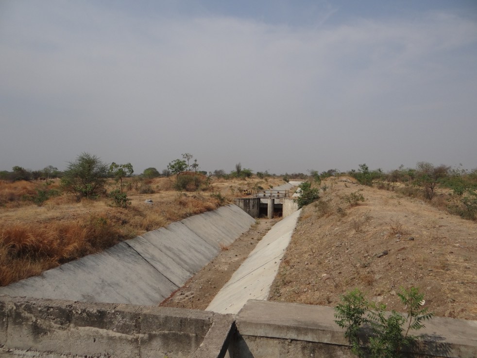
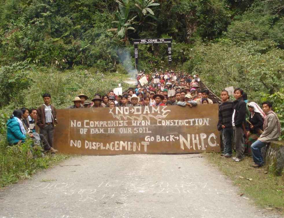
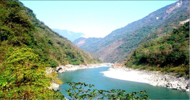
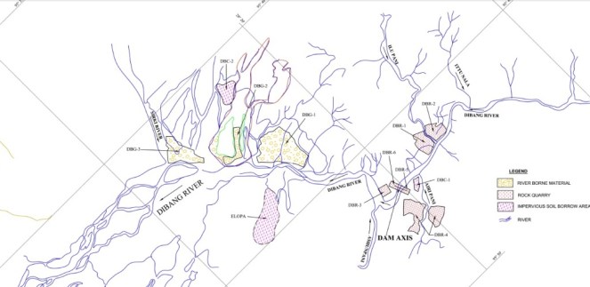
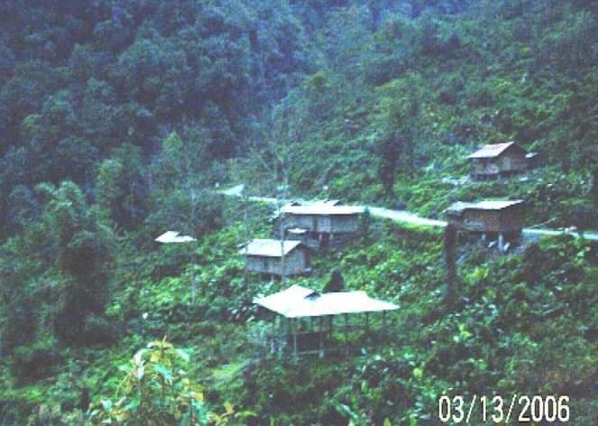
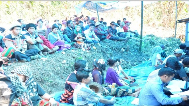
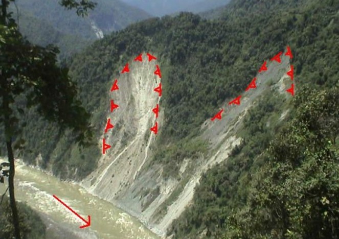
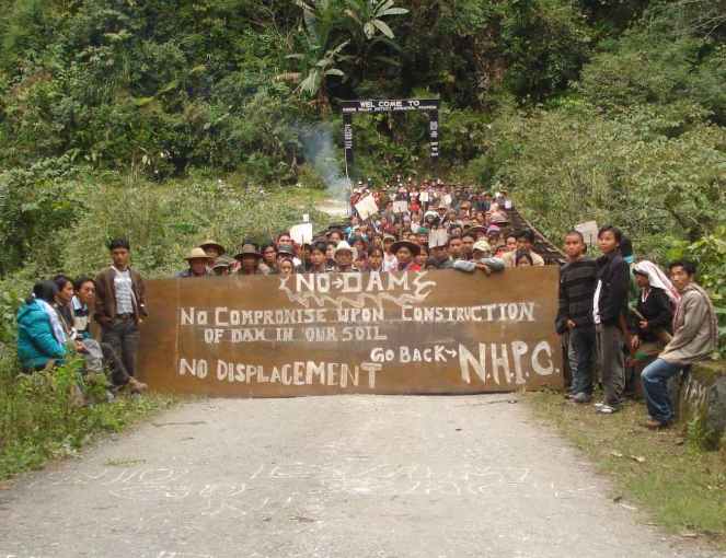
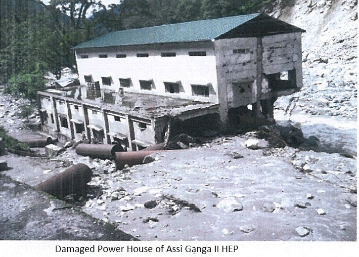
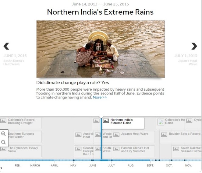
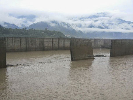
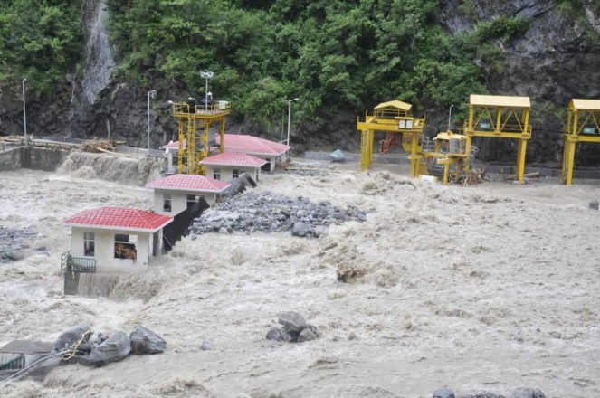

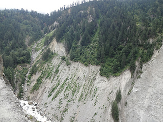
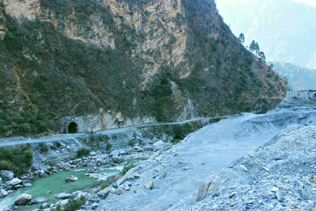
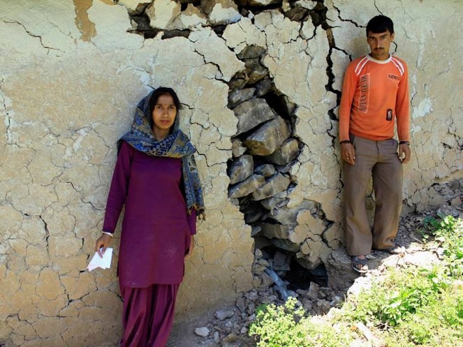
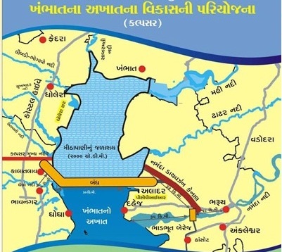
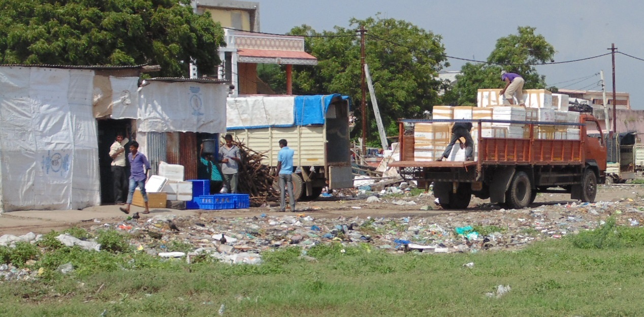
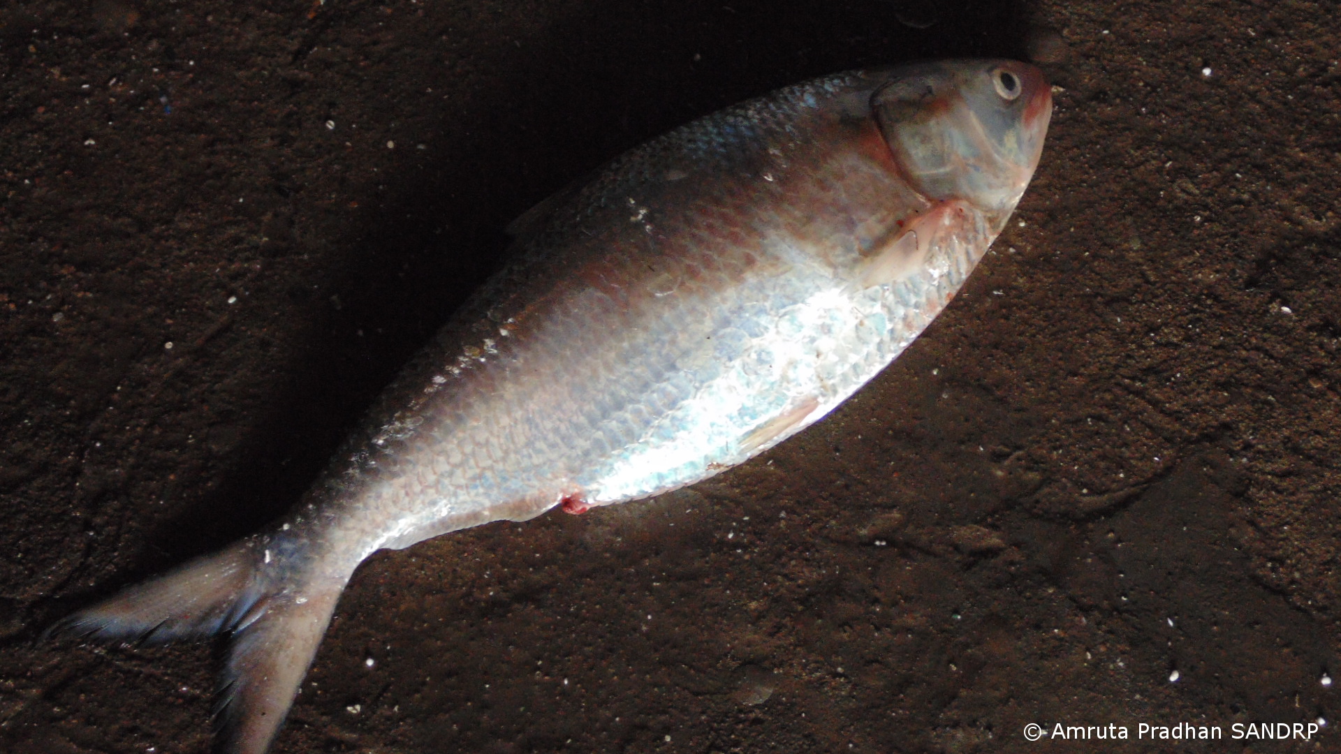
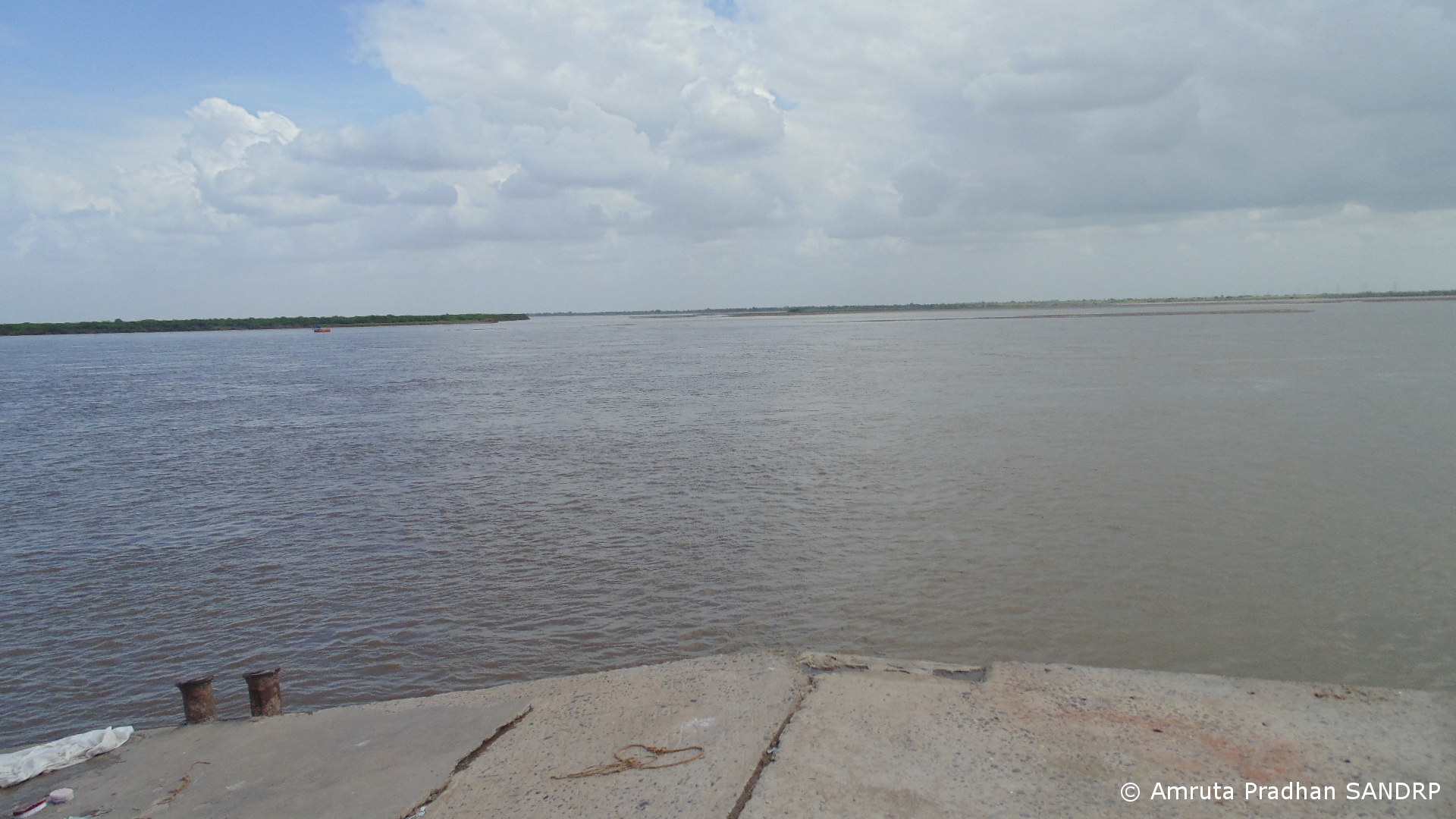
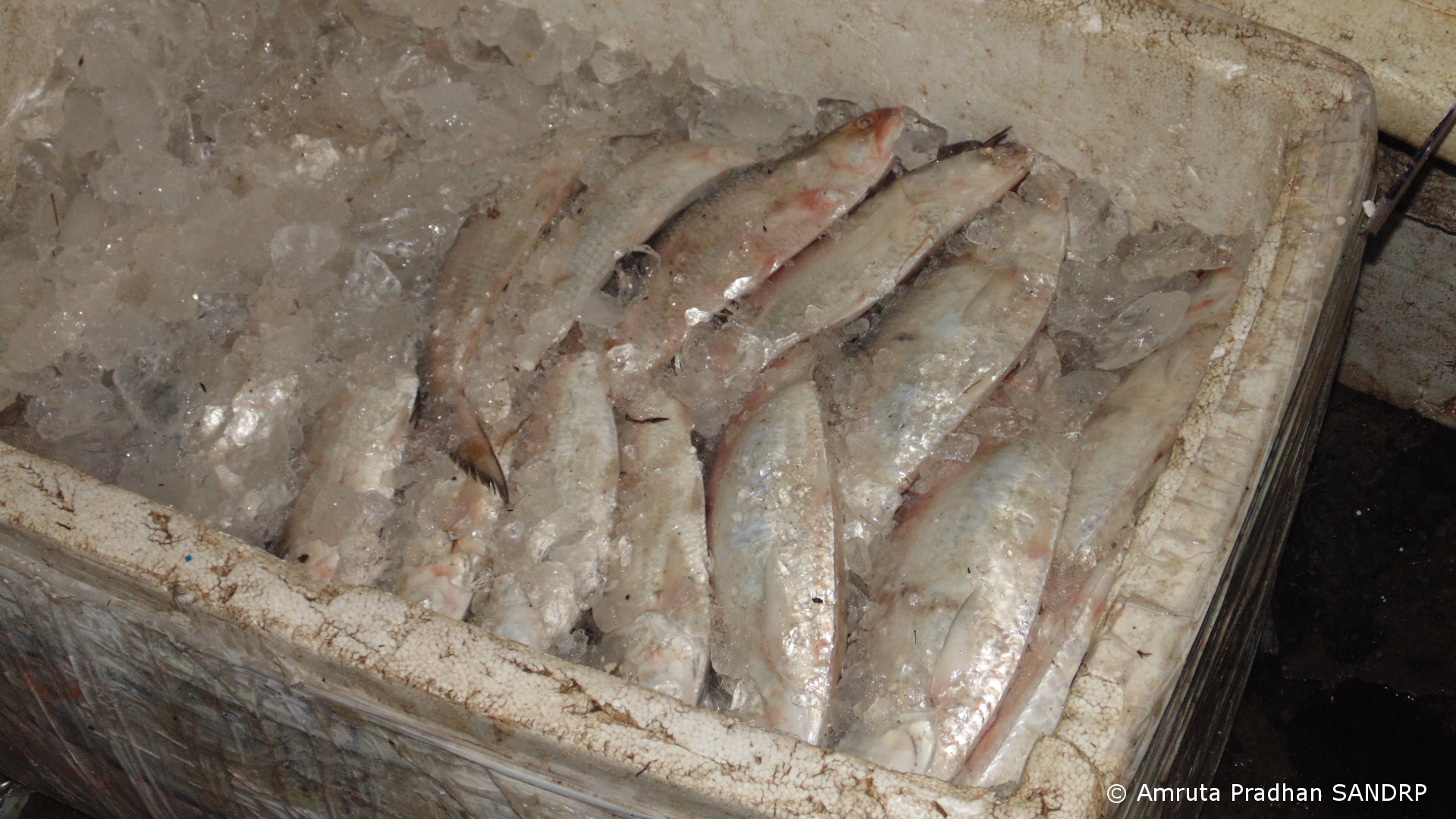

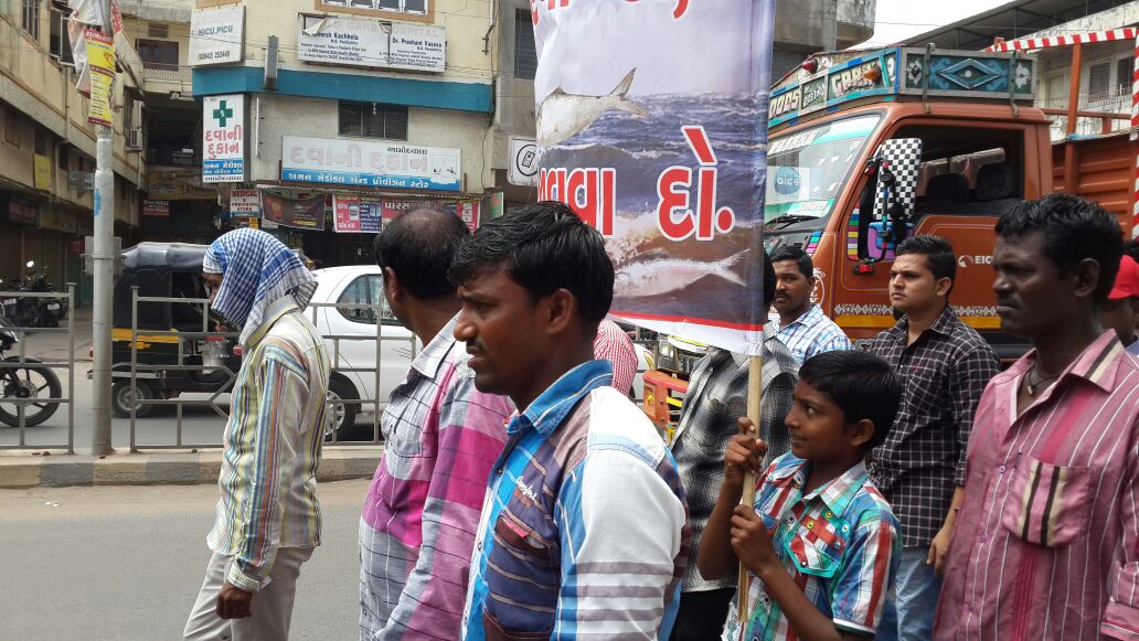

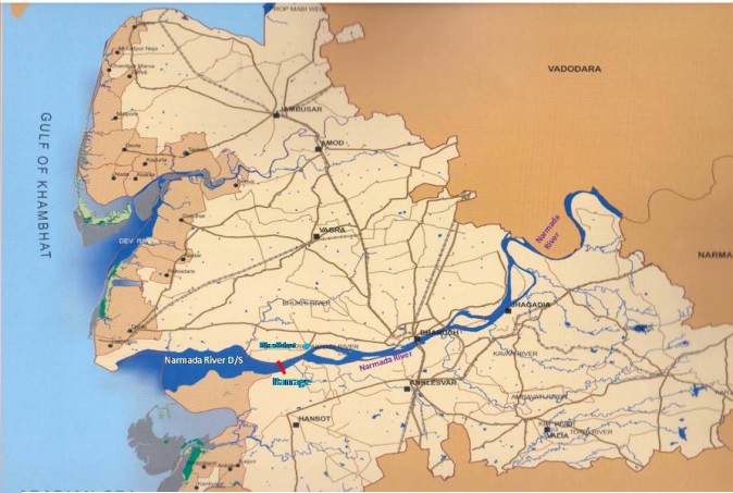
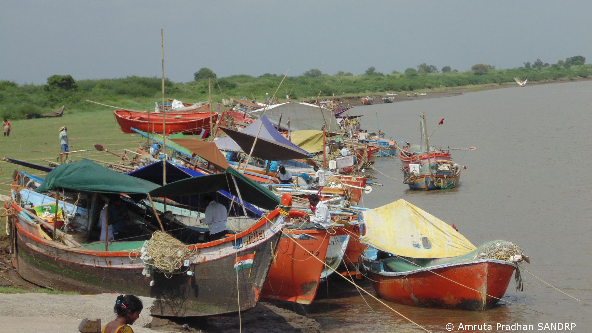
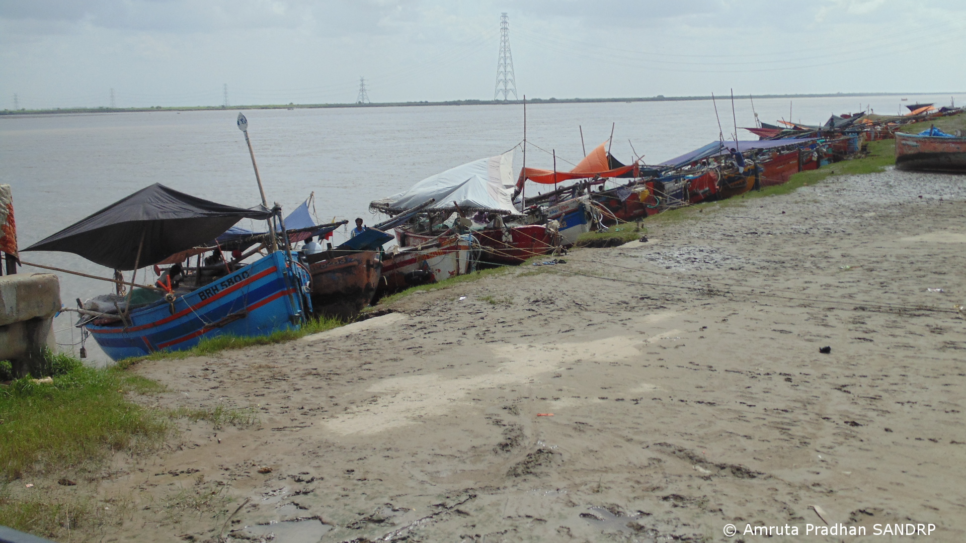
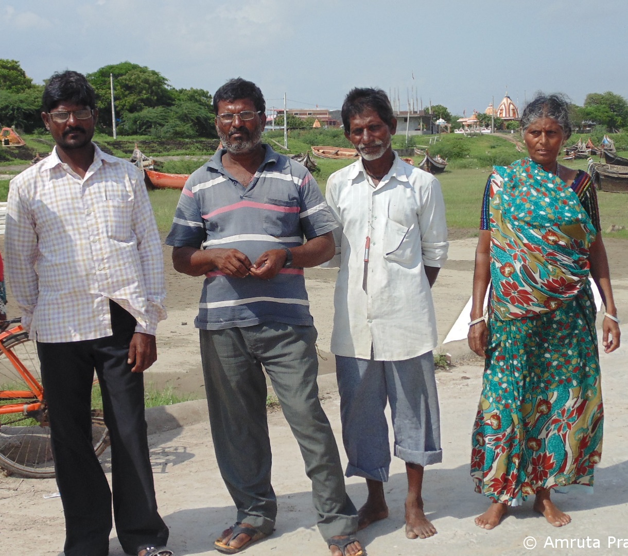
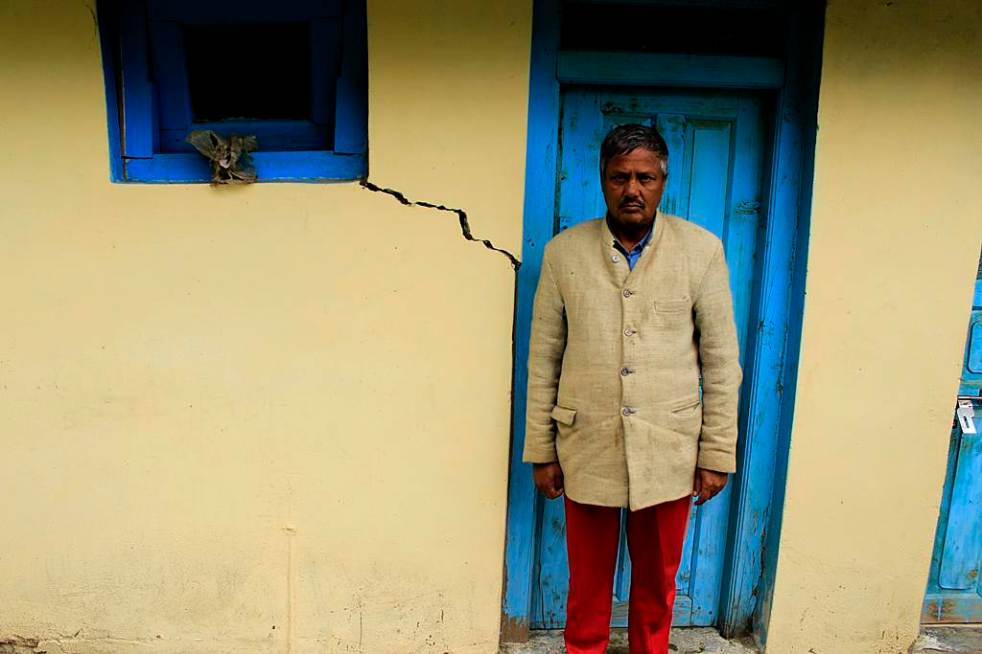
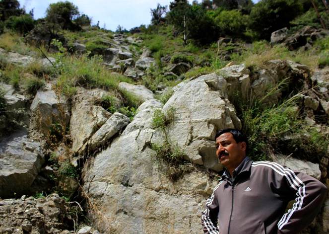
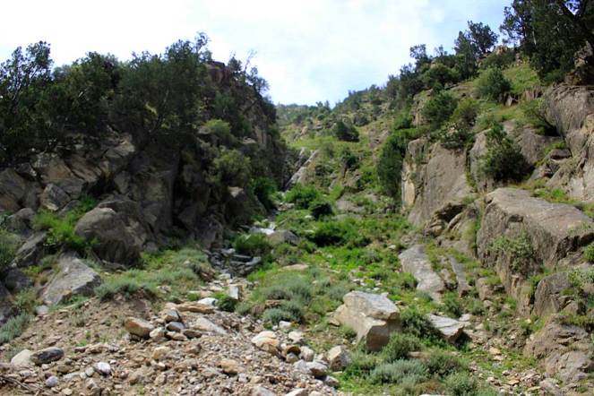
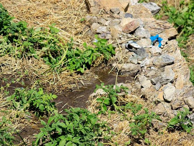
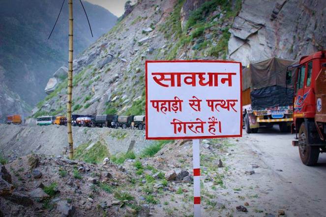
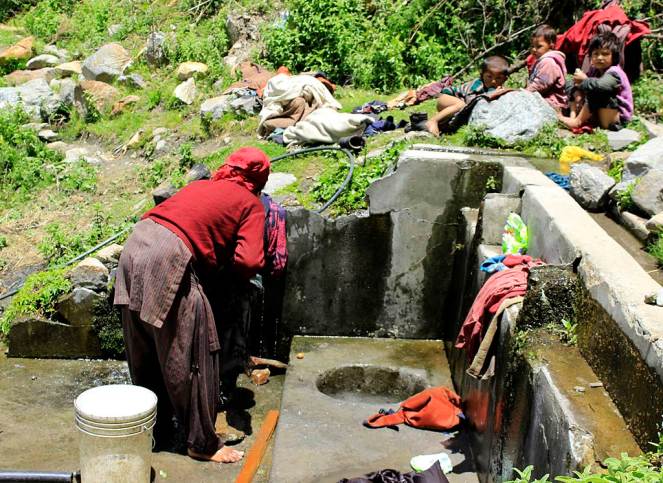
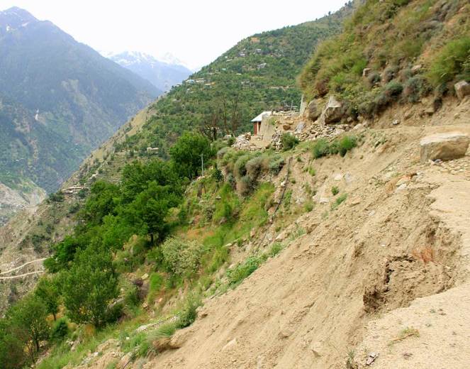
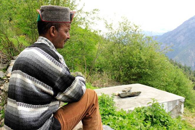
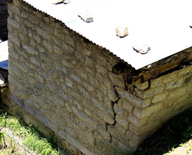
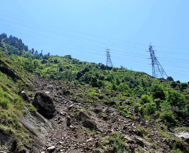
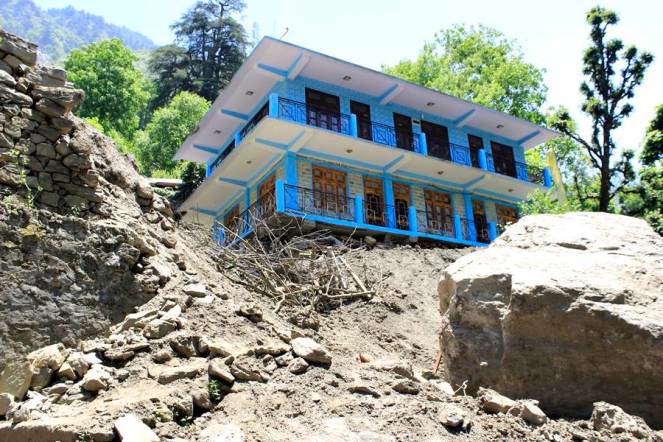
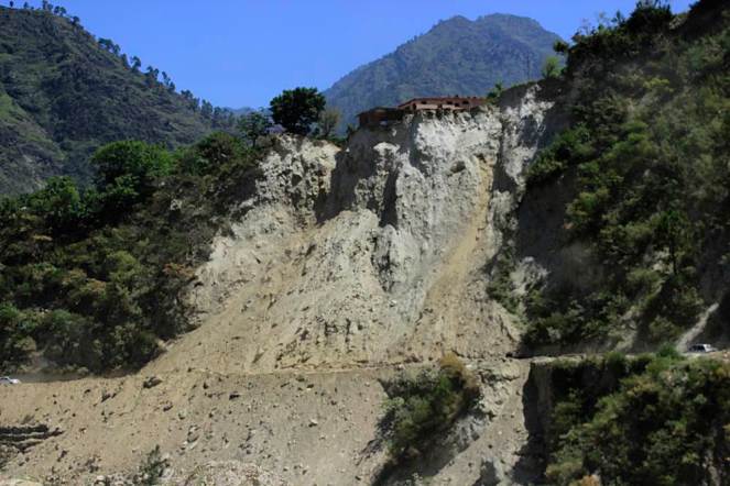
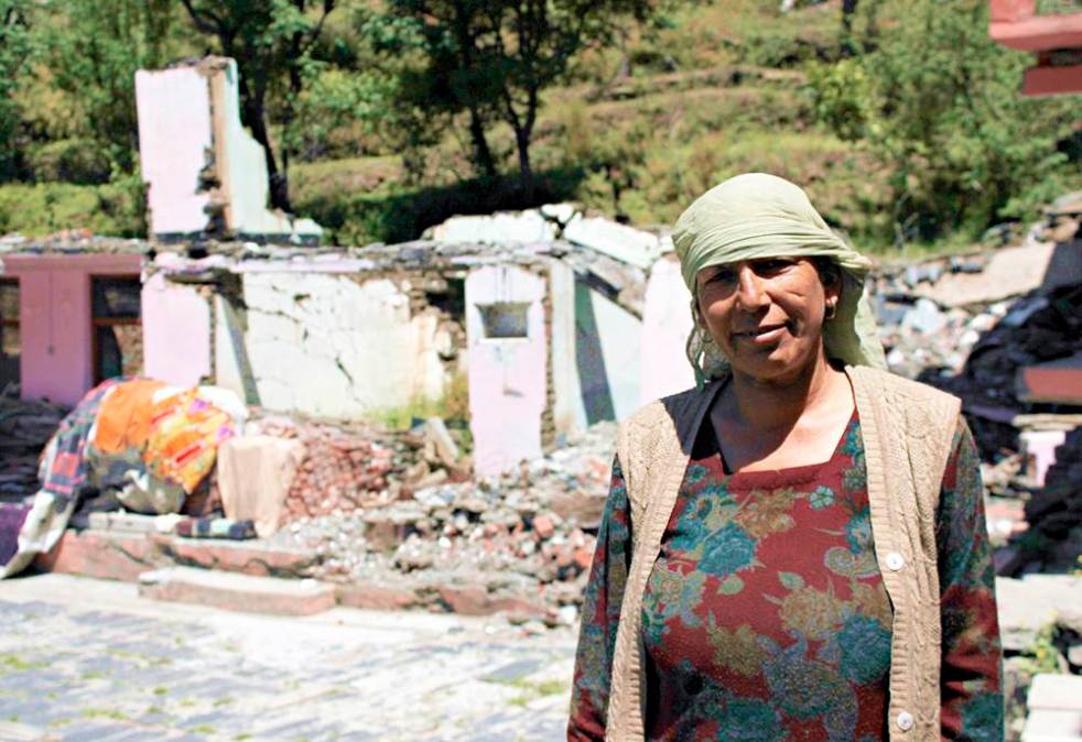
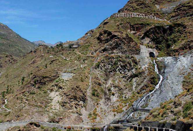
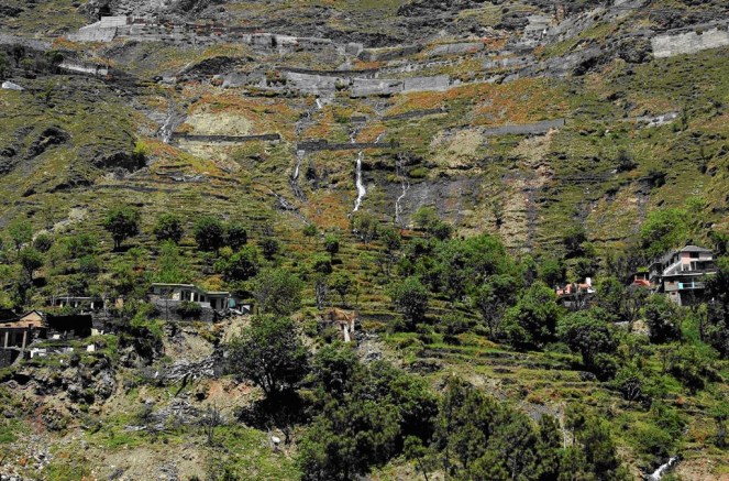
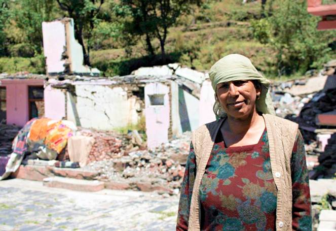
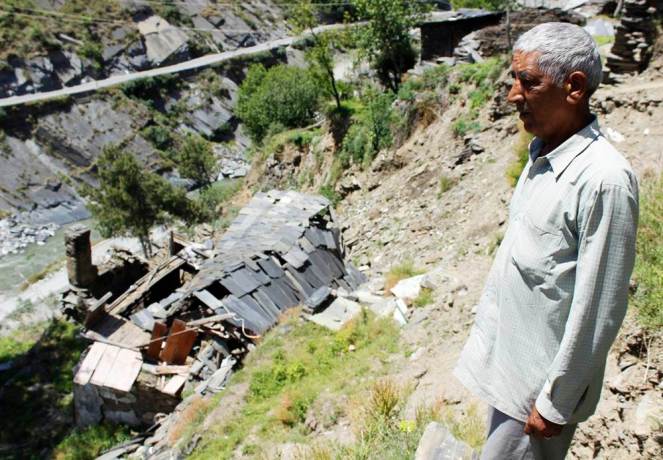
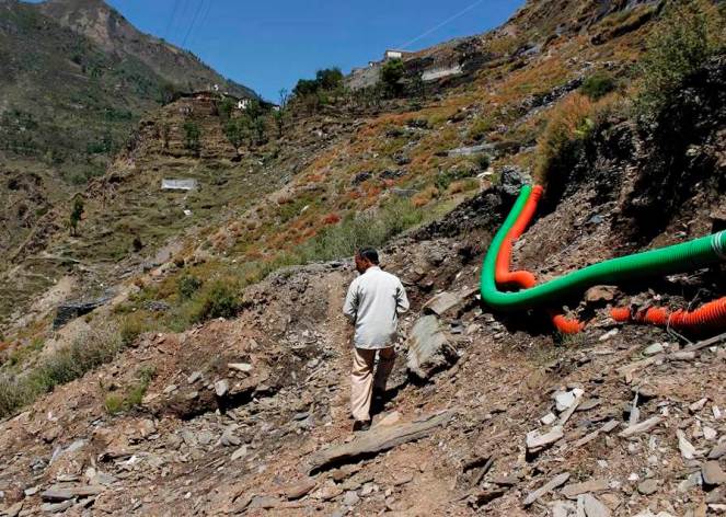
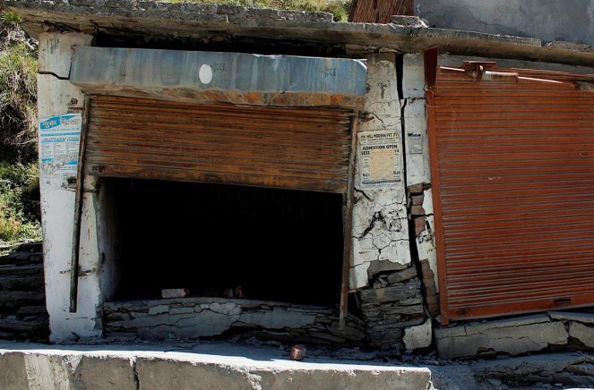
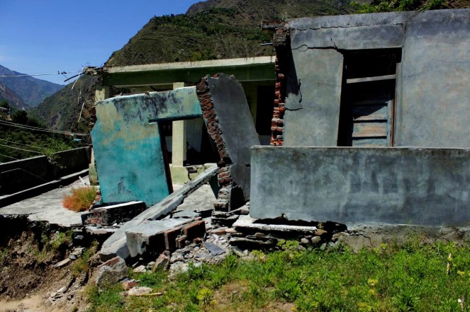
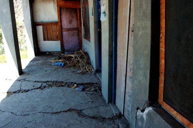
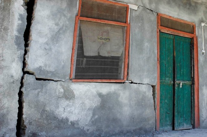
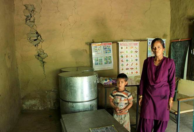
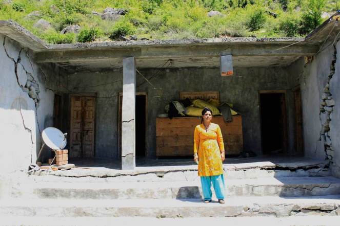
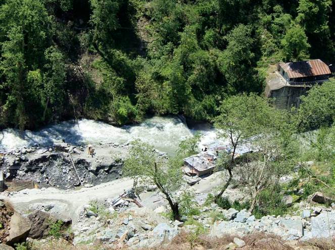
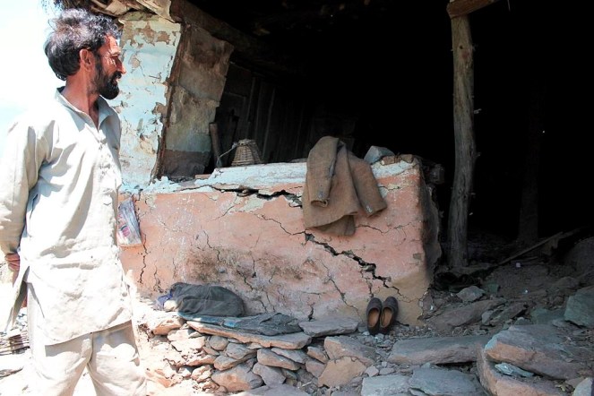

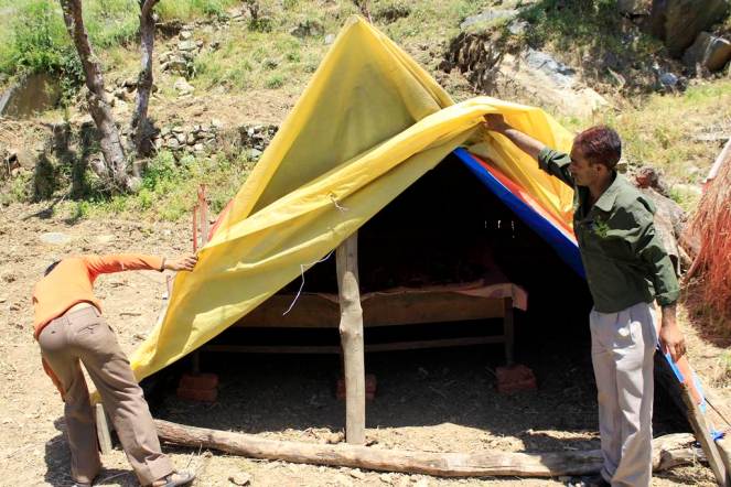
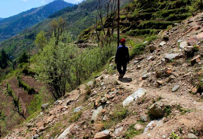
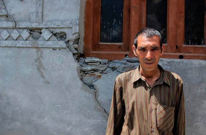
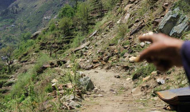
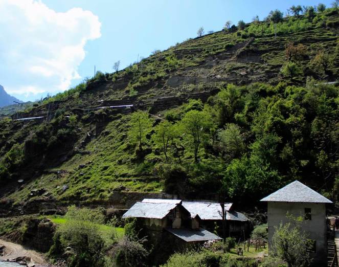
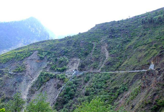
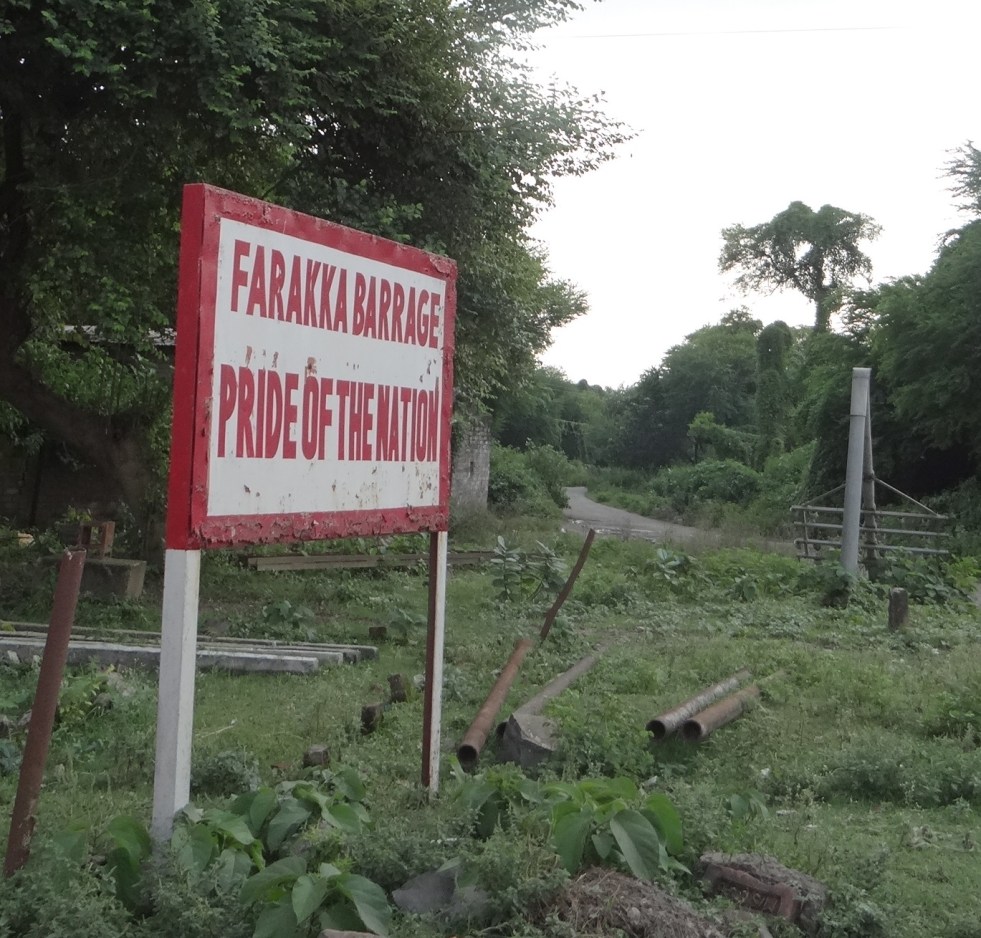
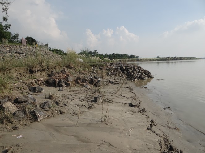
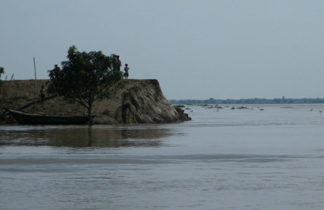
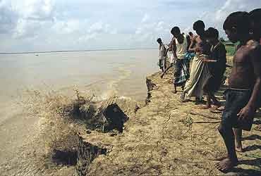

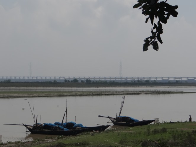

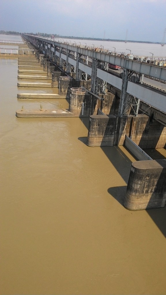
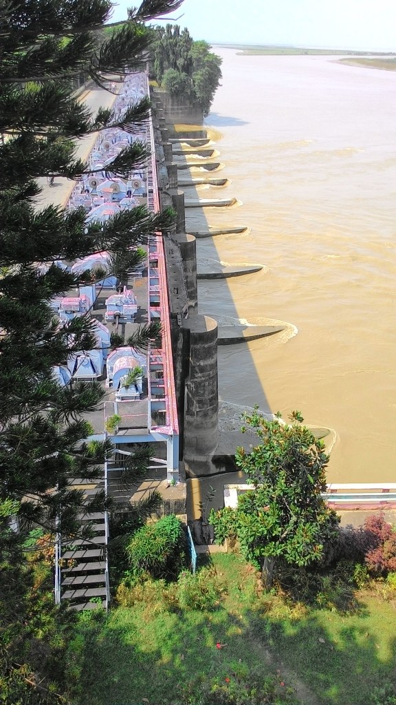
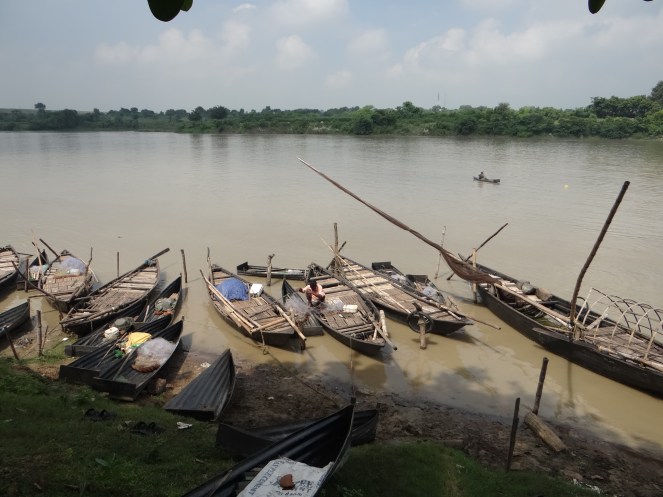
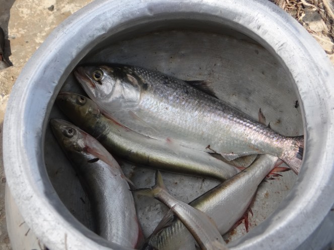
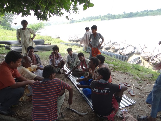
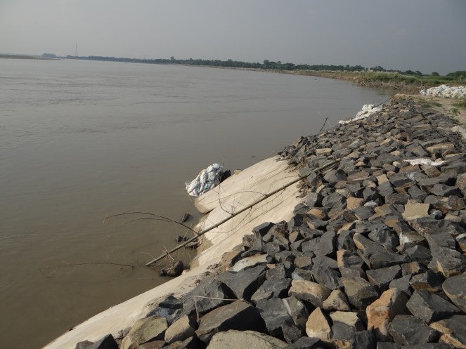
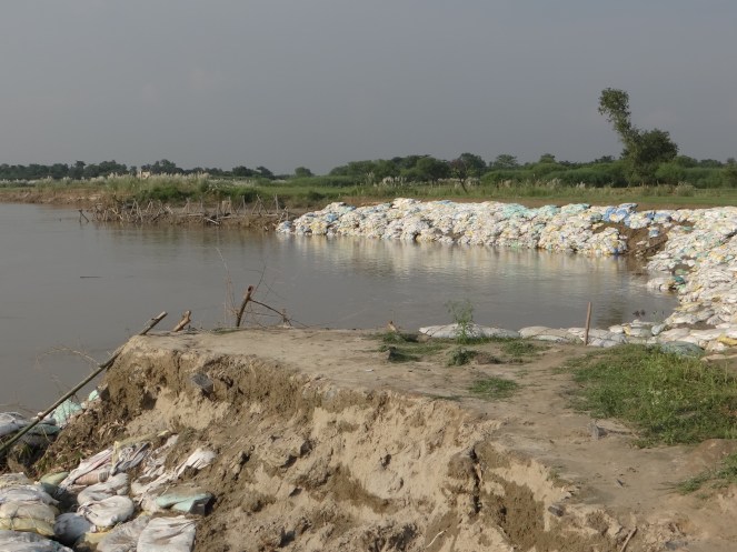 Farakka has profoundly changed the character, sediment regime and flow of Ganga. It is affecting lives of lakhs of people in India and Bangladesh through cycles of erosion, sedimentation, floods and affected fishing. Our response to the issue has been dismal. We have not conducted a single review of costs, benefits and impacts of Farakka Project so far. In addition to Farakka , Lower Ganga (Narora), Middle Ganga, Upper Ganga Barrages (Bhimgoda), Kanpur Barrage, Hydropower projects in Uttarakhand and other upstream states have affected the river in most profound ways. If we want to rejuvenate the Ganga, we need to institute a credible independent review the existing Barrages, not plan new ones. May be we can begin with a demand for such a review for Farakka on urgent basis. One World Rivers Day, let us wish for a long and healthy flow for the Ganga River, a symbol of all flowing rivers in India!