Guest Article by Kundan Parmar & Satheesh Chothodi
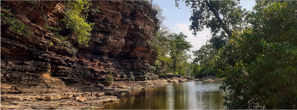
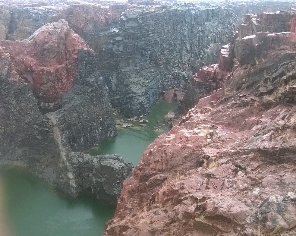
(Feature image of Raneh Falls along Ken River by SANDRP)
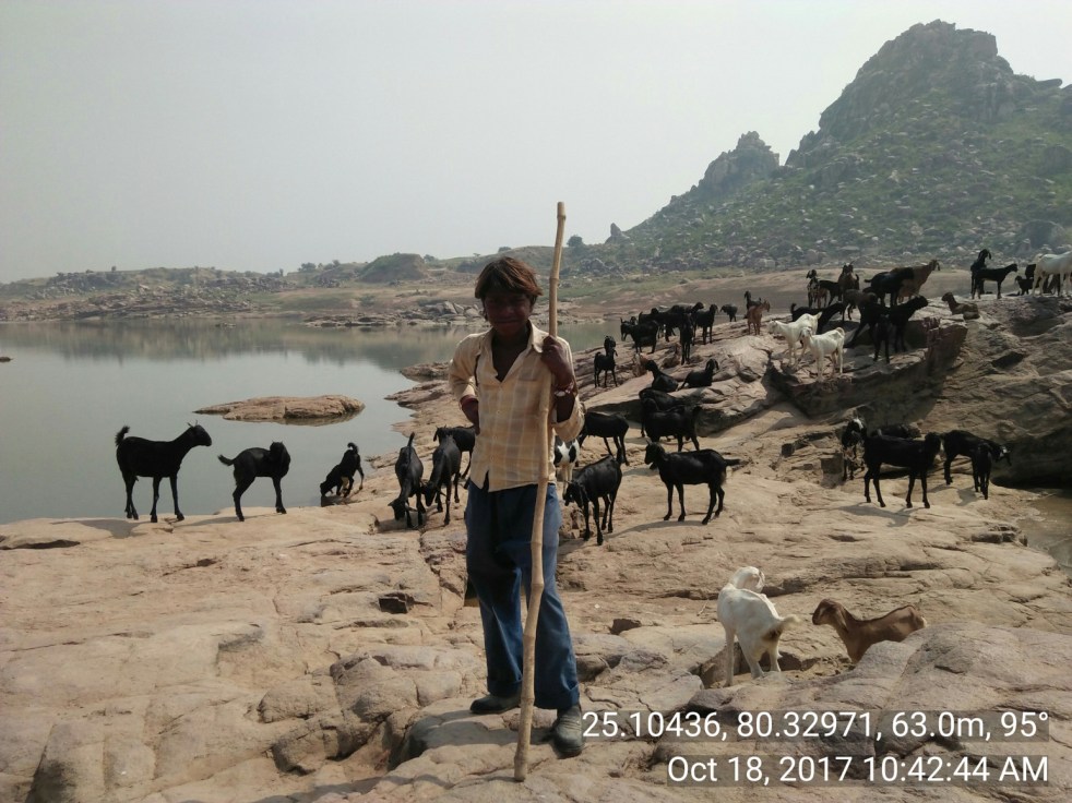
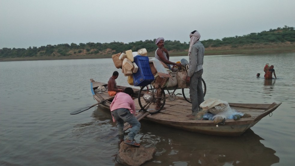
Central India’s Upper Ken Basin, where the ancient Bundelkhand Craton meets the younger Vindhyan sedimentary rocks, appears at first glance to be a quiet and time-worn landscape. But new research reveals that the region is still being shaped by deep, hidden tectonic forces. In a recent study, geographers Kundan Parmar and Satheesh Chothodi used high-resolution elevation data and underground gravity measurements to decode the subtle fingerprints of active deformation imprinted onto the basin’s rivers and valleys. Their findings show that ancient faults, modern uplift and slow tilting continue to steer the paths of the Ken, Sonar and Bearma Rivers (all part of Ken Basin), creating steep drops, shifting channels and asymmetric basins.
Continue reading “Hidden Faults, Flowing Rivers: How Tectonics Shape Central India’s Upper Ken Basin”