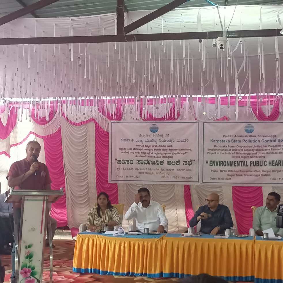
(Feature Image: People raising objections against Sharavathi PSP at a Public Hearing in Shivamogga on Sept. 16)
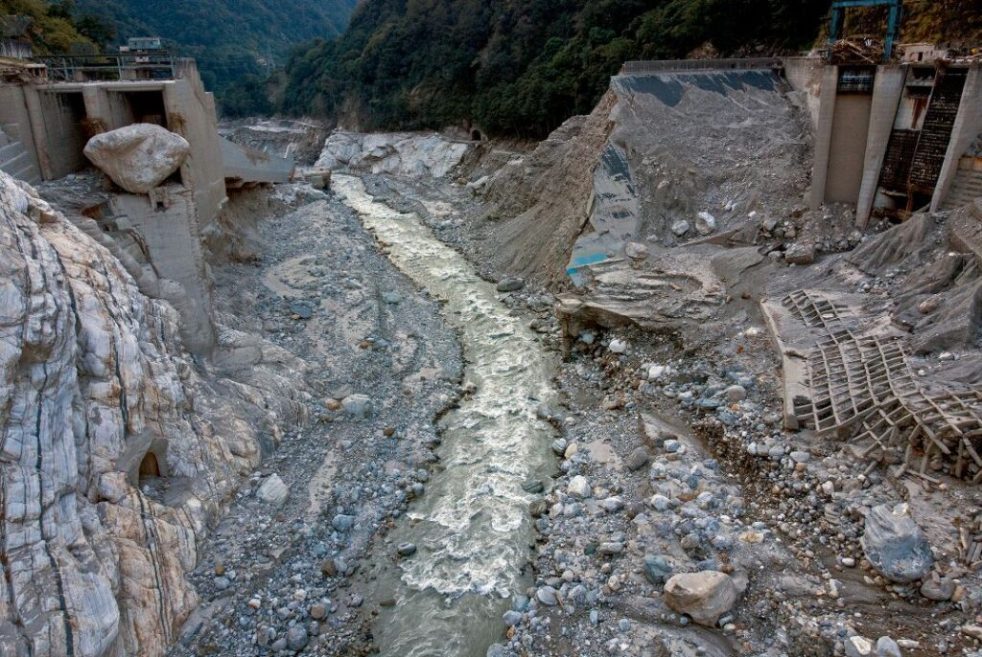
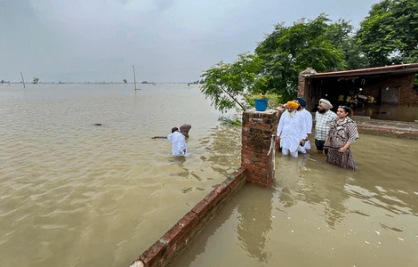
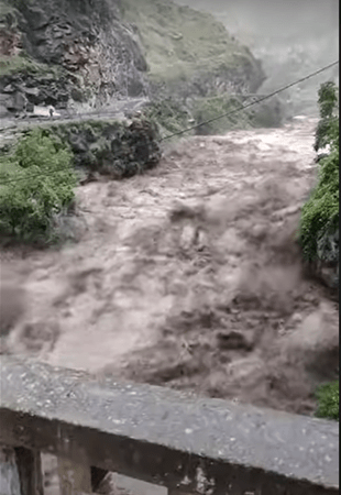
It is interesting that this week there are reports about growing opposition to Pump Storage Hydro Projects across the country including in Rajasthan, Karnataka, Andhra Pradesh, Madhya Pradesh (proposed project near Bargi reservoir in Narmada Valley) besides similar opposition seen earlier in Maharashtra. This should wake up the authorities and realise that the assumption of such projects being socially and environmentally benign is totally wrong.
Continue reading “DRP 131025: Pump Storage Hydro Projects facing increasing opposition”