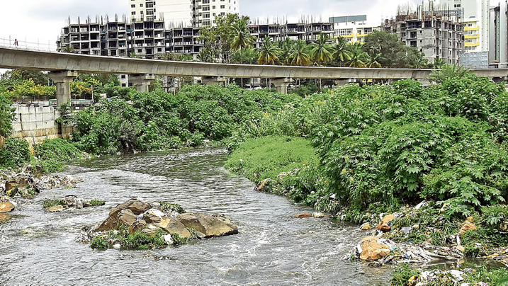
(Feature Image: Vrishabhavathi river in Bengaluru. Credit: Deccan Herald)
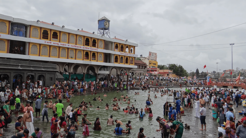
Despite sustaining cities with water supply, groundwater recharge, flood moderation, biodiversity, livelihoods and cultural services, India’s urban rivers continue to deteriorate, as highlighted by several reports this week. The Yamuna in Delhi remains the starkest example – ecologically dead across long stretches due to unchecked sewage inflows, shrinking flows and relentless floodplain encroachment. Similar stories are unfolding across the country, with Mumbai’s Mithi, Hyderabad’s Musi, Chennai’s Cooum, Bengaluru’s Vrishabhavathi, Ahmedabad’s Sabarmati, Vadodara’s Vishwamitri, Jaipur’s Dravyawati, Nasik’s Godvarai, Pune’s Mula-Mutha amd several other urban rivers increasingly reduced to sewage drains or heavily degraded waterways.
Continue reading “DRP 270726: Urban Rivers Need Ecological Restoration, Not Concrete, Cosmetic Fixes”